Sugar Pine Railroad, Sonora
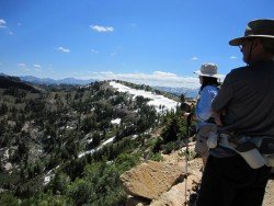
Sonora Pass is located near Pinecrest, Tuolumne County, California, USA. It is off of Highway about 60 mi/96.5 km east of Sonora.
Home  > MOUNTAIN SPORTS  > Extreme Hiking / Hiking  > Rogue River, Grants Pass
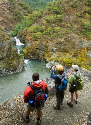
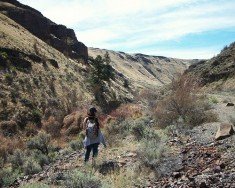
The river starts from Crater Lake, at 5320 ft/1621.5 m and goes all the way to the Pacific Ocean, at Gold Beach. The main trail, Lower Rogue River trail is 40 mi/64.37 km long, starts at Grave Creek and goes all the way to Illahe.
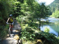
There are other courses that you can follow, like the Upper Rogue River trail and also some smaller ones. There are many sights to enjoy, while hiking and this is why the hiking trails at Rogue River have a high reputation. One can pass through river canyons, the  Union Creek Historic District, the Rogue Gorge and the Natural Bridge.
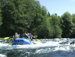
The hiking trails reach the shores of the river at some points and may elevate about 200 ft/60.96 m above the river at other points. In the winter time, hiking can be more challenging, as you may find several logs or bigger rocks in the middle of the trails, so more attention is needed. Several hiking schools near the area offer daily or up to 4-day excursions at the River, combining hiking and rafting. One thing is certain, hikers will find their “paradise” at Rogue River, because it is a place that combines natural beauty and adventure, as well as serenity and relaxation.

Sonora Pass is located near Pinecrest, Tuolumne County, California, USA. It is off of Highway about 60 mi/96.5 km east of Sonora.
Torres del Paine is located in Southern Patagonia and is one of the numerous spectacular national parks in Chile. It was created in 1959 and UNESCO has listed the location as a Biosphere Reserve since 1978. This place is a wonder land for hikers from all over the world.
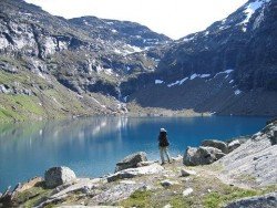
Gertrude Saddle is part of the spectacular Darren Mountains, situated in the isolated northern part of Fiordland.
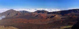
Volcano National park is located at 30 mi/48 km in the southwest of Hilo Town in Hawaii. The park was established in 1916 and is a combination of unique ecosystems and diverse environments that range from the sea to the summit of the world's biggest volcano, Mauna Loa, as well as Kilauea witch is the world's most active volcano.
Sonora Pass is located near Pinecrest, Tuolumne County, California, USA. It is off of Highway about 60 mi/96.5 km east of Sonora.
Almeria is a province of the Autonomous Community of Andalusia, between Enix, Pechina and Nijar. With mountain sierras and a 40 km/25 mi of seacoast terrain, Almeria enjoys a subtropical Mediterranean climate with hot summers and warm winters.
Located in Central Oregon, very close to Bend, Deschutes River Trail is one of the most popular trails in the area.
Lake Talawa is located in Talawa Dunes State Park, north of Crescent City, Del Norte County, California, USA.
Mount Shasta is located in northern California, east of Interstate 5 along SR89, between Mount Shasta city and McCloud city, California, USA.
Elk Lake is a lake located along the Cascade Lakes Scenic Byway, only at eleven miles passing Mount Bachelor in Central Oregon Cascade Mountains.
Point St. George is located in the northwest of Crescent City, west of the Airport, Del Norte County, California, USA.
Mount Shasta is located in northern California, east of Interstate 5 along SR89, between Mount Shasta city and McCloud city, California, USA.
Enderts beach is located 3 mi/4.8 km south of Crescent City off Highway 101 Paved beach. Crescent city is in Del Norte County, California, USA.