Ebbetts Pass, Angels Camp
Bear Valley is a ski area located near Angels Camp, on highway 4, between Lake Tahoe and Yosemite, approximately 3 hours southeast of Sacramento, California, USA.
Home > MOUNTAIN SPORTS > Mountain Biking > Cedar Ridge, Sonora
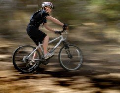
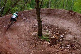
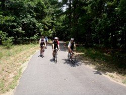
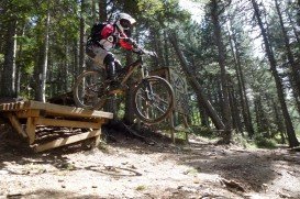
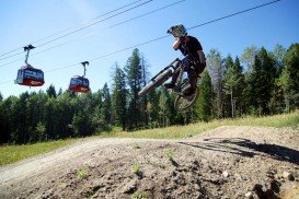
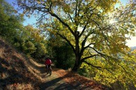
A popular sport at Sonora Pass is mountain biking. There are mountain biking trails along the Sonora Pass highway. You will find everything you need from gentle, railroad grades to steep, single tracks. There are great logging roads, perfect to explore.
Purchase a map of Stanislaus National Forest at the ranger station in MiWuk or Pinecrest and also a map of Toiyabe National Forest at the Bridgeport ranger station. One of the most popular trails is Cedar Ridge. It is a one way, 2.5 mi/4 km, moderate trail with elevation loss of 200 ft/61 m.
Grab your bike and ride along the old Columbia and Stanislaus River Water Company ditch line. In order to reach the beginning spot take Twain Harte Dr., just out of Twain Harte and follow it to Joaquin Gulley and then another 5 mi/8 km to Mountain Elizabeth Road.
A ditch road is on your left side. Ride along the hillside to Cedar Ridge, where you will be on paved roads again. There are some dirt roads on Mount Elizabeth, offering more challenging rides for mountain bikers.
Bear Valley is a ski area located near Angels Camp, on highway 4, between Lake Tahoe and Yosemite, approximately 3 hours southeast of Sacramento, California, USA.
Bear Mountain Ski Resort is located on the San Bernardino Mountain, by the Big Bear Lake, California, USA.
The Dominican Republic is located on the island of Hispaniola, in the northern Caribbean Sea. The Haiti nation is standing on the western side of the same island. Santo Domingo, the capital city is situated on the southern side of Dominican Republic.
Halde Haniel in Bottrop, the second highest mining heap in the Ruhr area, just behind the heap Oberscholven, lies at about 128 m/419 ft above sea level in the vicinity of Oberhausen, offering some thrilling opportunities for practicing extreme sports.
Peninsula is a village situated in Summit County, Ohio, USA. It is part of the Akron Metropolitan Statistical Area and its exact location is in the middle of Cuyahoga Valley National Park. This unique park provides a source of tourism to the village. On its east side, Peninsula is bordered by Boston Heights.
Wanaka is a small town in Central Otago in the South Island of New Zealand, situated on the south side of Lake Wanaka.
Bear Valley is a ski area located near Angels Camp, on highway 4, between Lake Tahoe and Yosemite, approximately 3 hours southeast of Sacramento, California, USA.
Sonora Pass is located near Pinecrest, Tuolumne County, California, USA. It is off of Highway about 60 mi/96.5 km east of Sonora.
Mount Shasta is located in northern California, east of Interstate 5 along SR89, between Mount Shasta city and McCloud city, California, USA.
Sonora Pass is located near Pinecrest, Tuolumne County, California, USA. It is off of Highway about 60 mi/96.5 km east of Sonora.
Sugar Bowl ski resort is a ski area in northern Placer County, near Norden, along Donner Pass of Sierra Nevada, at about 46 mi/74 km from Reno on Interstate 80, California, USA. The resort was opened on the 15th of December 1939.

