Bottle Lake Forest Park, Christchurch
Christchurch is situated in Canterbury region of the South Island, and is the second largest city of New Zealand. It represents the getaway to Antarctica, while lying next to Pegasus Bay and the Pacific Ocean.
Home > MOUNTAIN SPORTS > Mountain Biking > Cedar Ridge, Sonora
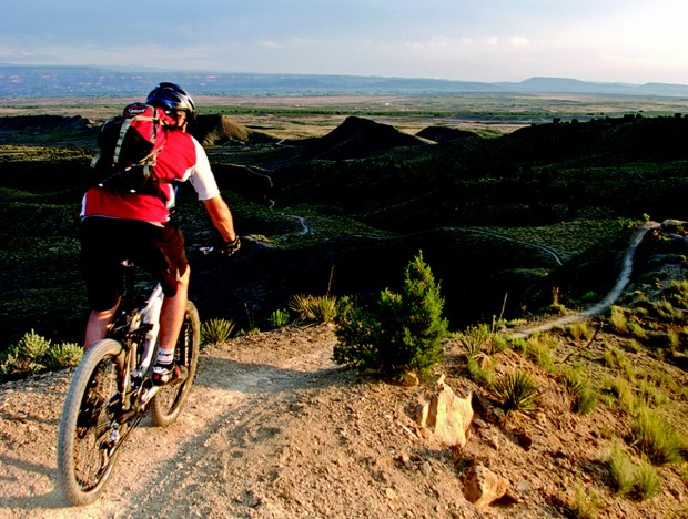
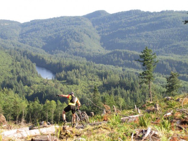
A popular sport at Sonora Pass is mountain biking. There are mountain biking trails along the Sonora Pass highway. You will find everything you need from gentle, railroad grades to steep, single tracks. There are great logging roads, perfect to explore.
Purchase a map of Stanislaus National Forest at the ranger station in MiWuk or Pinecrest and also a map of Toiyabe National Forest at the Bridgeport ranger station. One of the most popular trails is Cedar Ridge. It is a one way, 2.5 mi/4 km, moderate trail with elevation loss of 200 ft/61 m.
Grab your bike and ride along the old Columbia and Stanislaus River Water Company ditch line. In order to reach the beginning spot take Twain Harte Dr., just out of Twain Harte and follow it to Joaquin Gulley and then another 5 mi/8 km to Mountain Elizabeth Road.
A ditch road is on your left side. Ride along the hillside to Cedar Ridge, where you will be on paved roads again. There are some dirt roads on Mount Elizabeth, offering more challenging rides for mountain bikers.

Christchurch is situated in Canterbury region of the South Island, and is the second largest city of New Zealand. It represents the getaway to Antarctica, while lying next to Pegasus Bay and the Pacific Ocean.
Bjorkliden lies at 250 km/155 mi inside the Arctic Circle. It's one of the world's northernmost ski resort where modern ski has been born.
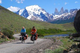
Torres del Paine is located in Southern Patagonia and is one of the numerous and spectacular national parks in Chile. It was created in 1959 and UNESCO has listed the location as a Biosphere Reserve since 1978. This place is a wonderland for nature enthusiasts from all over the world.
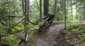
Chicago is the seat of Cook County, Illinois, USA. It is the third most populous city in the US and the most populous city in both the American Midwest and Illinois. Nicknamed as The Second City or Windy City, Chicago is situated on the southeastern shores of Lake Michigan, in the northeastern Illinois.
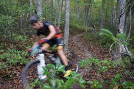
Sonora Pass is located near Pinecrest, Tuolumne County, California, USA. It is off of Highway about 60 mi/96.5 km east of Sonora.

Between Himalayan giants Annapurna and Dhaulagiri, on the edge of the Tibetan Plateau, lies the legendary kingdom of Mustang. Mustang is the former Kingdom of Lo, where Tibetan is still spoken. The Upper Mustang comprises the northern two-thirds of Mustang District of Dhaulagiri Zone.
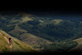
Bear Valley is a ski area located near Angels Camp, on highway 4, between Lake Tahoe and Yosemite, approximately 3 hours southeast of Sacramento, California, USA.
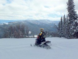
Sonora Pass is located near Pinecrest, Tuolumne County, California, USA. It is off of Highway about 60 mi/96.5 km east of Sonora.

Sonora Pass is located near Pinecrest, Tuolumne County, California, USA. It is off of Highway about 60 mi/96.5 km east of Sonora.
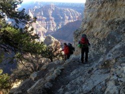
Bear Valley is a ski area located near Angels Camp, on highway 4, between Lake Tahoe and Yosemite, approximately 3 hours southeast of Sacramento, California, USA.
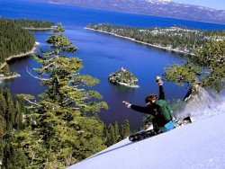
Squaw Valley Ski Resort is located in Olympic Valley, California, USA. It is one of the largest ski areas in the US after Heavenly and was the site of the 1960 Winter Olympics.
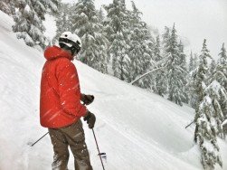
Kirkwood Mountain Resort is a year round resort in Kirkwood, south of Lake Tahoe, in El Dorado County, California, USA. Kirkwood is at 33 mi/53 km south of South Lake Tahoe, on State Route 88 and it is surrounded by El Dorado National Forest.
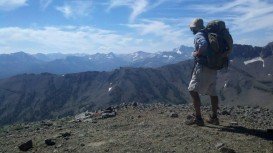
South Lake Tahoe is located on the California–Nevada border, El Dorado County, California, USA.
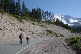
Mount Shasta is located in northern California, east of Interstate 5 along SR89, between Mount Shasta city and McCloud city, California, USA.

