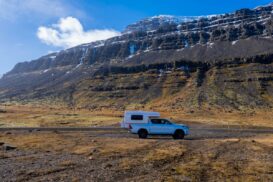
Routeburn Track, Glenorchy
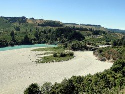
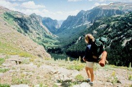
Glenorchy is a small settlement, situated in Otago region at South Island in New Zealand. It lies on the northern side of Lake Wakatipu and is surrounded by Richardson and Humboltd Ranges.
Home > MOUNTAIN SPORTS > Backpacking / Trekking > Yosemite National Park
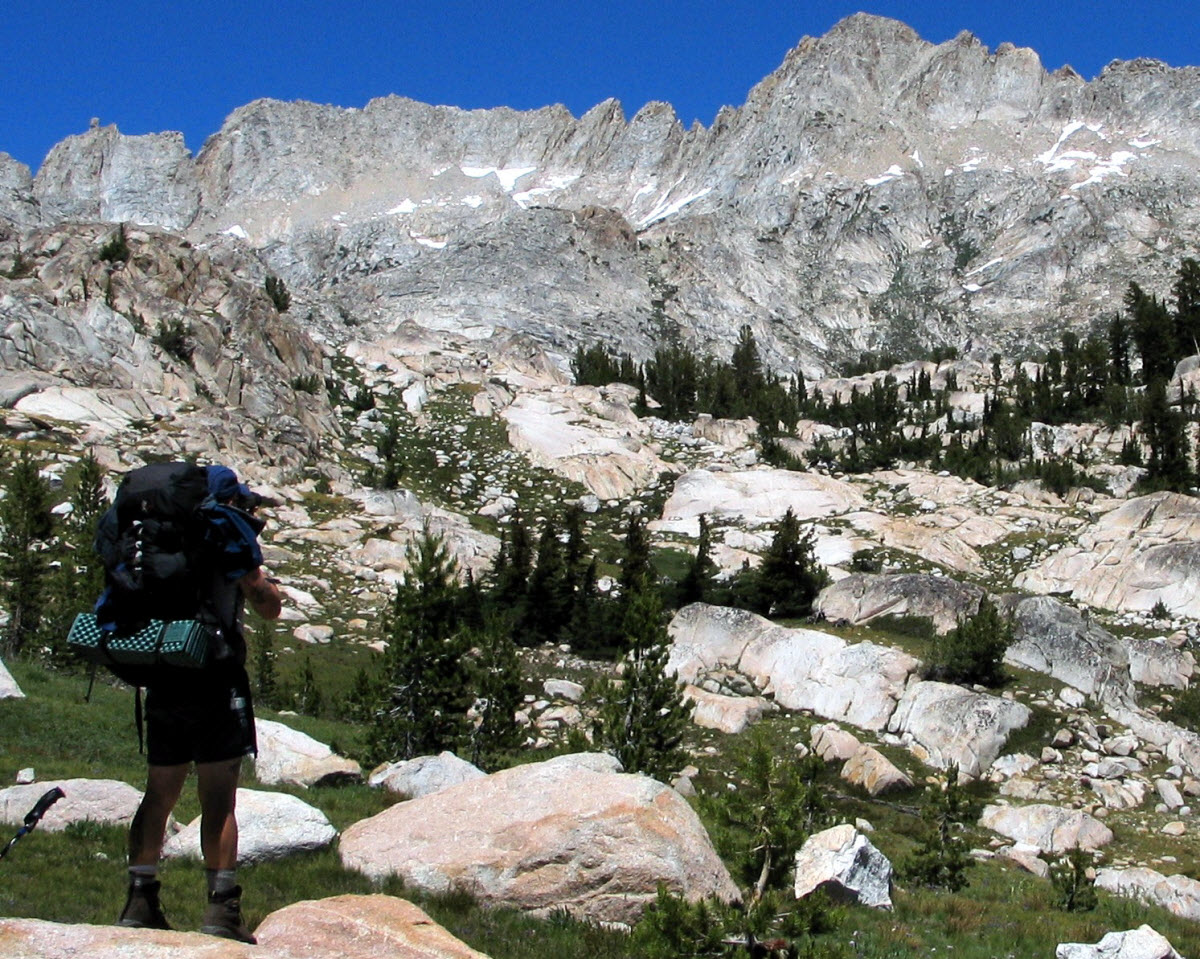
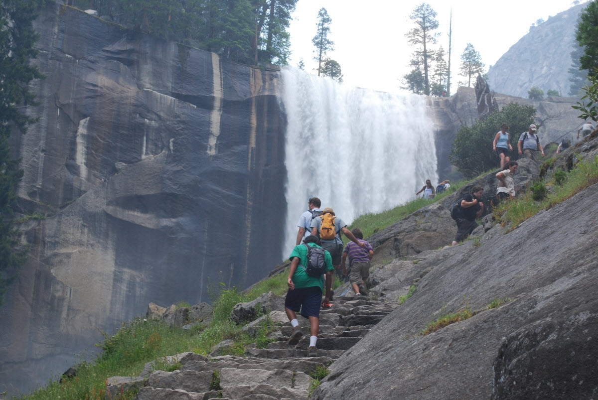
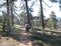
Yosemite’s Park is the perfect place for backpacking. The mild weather, the breathtaking landscapes and the over 1000 mi/1609.3 km of trails available, makes it a backpacker’s oasis. The park offers guided tours, but if you like you can backpack on your own. Just make sure to purchase the permits that are required for backpacking.
If you choose the guided backpacking, you need to take care of the permits and backpacking equipment (even clothing). If you wish, Yosemite’s Park, organizes a three day backpacking trip from Young Lakes to Mt. Conness. It starts with a fairly level about 8 mi/12.8 km hike to Young Lakes, which is below Mt. Conness. Second day has an ascent at Mt. Conness, where you can have a revelation of the magnificent views of Mono Basin and Tuolumne Region.
Another trip is a four day backpacking trip from Tuolumne Meadows to Yosemite Valley. The journey starts from Tuolumne and continues over Vogelsang Pass to Merced Lake and ends at Yosemite Valley. Highlights of the trip are towering trees, alpine meadows and high mountain passes.
Some other trips are Clouds Rest Trip from Tenaya Lake to Yosemite Valley, Buena Vista Lake Trip from Turner Meadows to Buena Vista Lake, and the High Sierra Camp Loop from Tuolumne to Vogelsang Pass.

Glenorchy is a small settlement, situated in Otago region at South Island in New Zealand. It lies on the northern side of Lake Wakatipu and is surrounded by Richardson and Humboltd Ranges.
Bear Valley is a ski area located near Angels Camp, on highway 4, between Lake Tahoe and Yosemite, approximately 3 hours southeast of Sacramento, California, USA.
Sonora Pass is located near Pinecrest, Tuolumne County, California, USA. It is off of Highway about 60 mi/96.5 km east of Sonora.
Hell's Gate is located in the South of Lake Naivasha and at about 90 km/55 mi in the northwest of Nairobi City. It covers an area of 68 km²/26.25 mi² and is at 1900 m/6233 ft above sea level. Some of the highlights are the Fischer's tower, Central tower and Hell's Gate gorge. Although there is a wide variety of wildlife, it is famous for a variety of bird species including vultures, verreaux's eagles, swifts and augur buzzards.
Sonora Pass is located near Pinecrest, Tuolumne County, California, USA. It is off of Highway about 60 mi/96.5 km east of Sonora.
Methven is a small town in Canterbury region of the South Island. It is only 1.5 h drive at the west of Christchurch, the second largest city of New Zealand and is situated close to Mount Hutt, in the heart of Southern Alps.
Bear Valley is a ski area located near Angels Camp, on highway 4, between Lake Tahoe and Yosemite, approximately 3 hrs southeast of Sacramento, California, USA.
Mount Shasta is located in northern California, east of Interstate 5 along SR89, between Mount Shasta city and McCloud city, California, USA.
South Lake Tahoe is located on the California–Nevada border, El Dorado County, California, USA.
Bear Valley is a ski area located near Angels Camp, on highway 4, between Lake Tahoe and Yosemite, approximately 3 hours southeast of Sacramento, California, USA.
Mammoth Lakes is located near Mammoth Mountain, in California’s eastern Sierra about 100 mi/161 km south of Nevada State Line, 9 mi/14.5 km northwest of Mount Morrison, at an elevation of 7880 ft/2402 m, Mono County, California, USA.
Bear Valley is a ski area located near Angels Camp, on highway 4, between Lake Tahoe and Yosemite, approximately 3 hours southeast of Sacramento, California, USA.
Sonora Pass is located near Pinecrest, Tuolumne County, California, USA. It is off of Highway about 60 mi/96.5 km east of Sonora.