
Pinecrest Eco Trek, Sonora
Sonora Pass is located near Pinecrest, Tuolumne County, California, USA. It is off of Highway about 60 mi/96.5 km east of Sonora.
Home  > MOUNTAIN SPORTS  > Backpacking / Trekking  > Rakaia Gorge Walkway, Methven
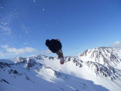
Methven has hot and dry summers, with temperatures that can reach up to 30°C/86°F, and cold winters with frequent snowfalls in the surrounding mountains. Although during summer it remains a relaxed and uncrowded town, during winter it is converted to a tourist attraction due to the nearby ski fields.
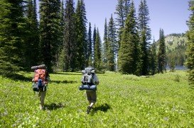
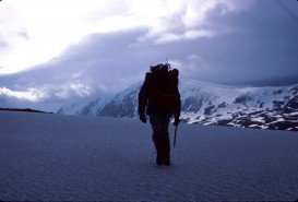
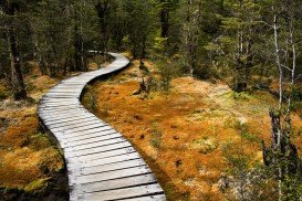
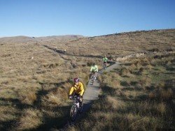
One of the best and most challenging ways to explore the wider area of Methven is trekking. Follow the Rakaia Gorge Walkway, immerse yourself in the trekking adventure and discover the beauty of Upper Rakaia River.
Rakaia is a braided river that begins its journey from the Southern Alps and extends for approximately 150 km/93 mi, before it merges with the Pacific Ocean. The walkway is 16 km/10 mi long and traverses several forests, before it gets to the ferryman’s track. At this point, you can explore the various glacier-carved terraces, before you continue following the rim of the gorge.
Note: For more details on the trails and tracks check with the Information Center.
Sonora Pass is located near Pinecrest, Tuolumne County, California, USA. It is off of Highway about 60 mi/96.5 km east of Sonora.
Bear Valley is a ski area located near Angels Camp, on highway 4, between Lake Tahoe and Yosemite, approximately 3 hours southeast of Sacramento, California, USA.
Sonora Pass is located near Pinecrest, Tuolumne County, California, USA. It is off of Highway about 60 mi/96.5 km east of Sonora.
Ama Dablam Mountain is a mountain situated in the Himalaya range of eastern Nepal. Its name means Mother’s necklace and it is the third most popular Himalayan summit for permitted expeditions.
Sonora Pass is located near Pinecrest, Tuolumne County, California, USA. It is off of Highway about 60 mi/96.5 km east of Sonora.
Christchurch is situated in Canterbury region in the South Island, and is the second largest city of New Zealand. It represents the getaway to Antarctica, while lying next to Pegasus Bay and the Pacific Ocean.
Christchurch is situated in Canterbury region of the South Island, and is the second largest city of New Zealand. It represents the getaway to Antarctica, while lying next to Pegasus Bay and the Pacific Ocean.
Queenstown is considered by many sportsmen as the capital of extreme sports and adventure activities. It is situated in Otago region, in the South Island, New Zealand.
Glenorchy is a small settlement, situated in Otago region, in the South Island, New Zealand. It lies on the northern side of Lake Wakatipu and is surrounded by Richardson and Humboltd Ranges.