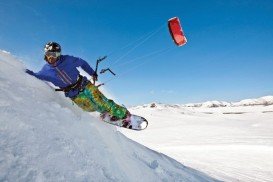
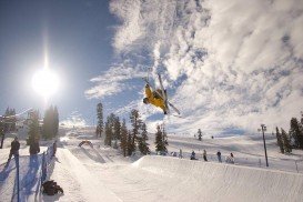
Bear Valley is a ski area located near Angels Camp, on highway 4, between Lake Tahoe and Yosemite, approximately 3 hours southeast of Sacramento, California, USA.
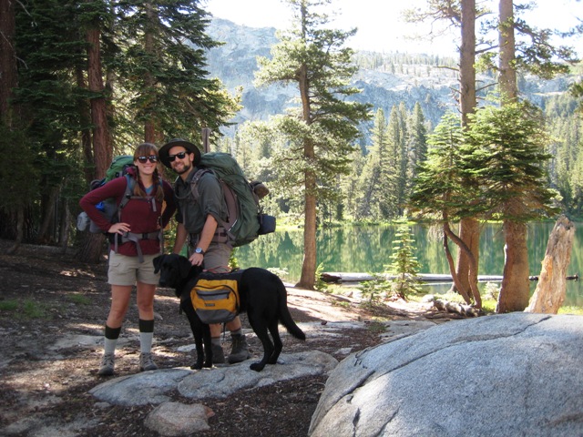
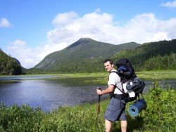
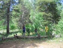
Near Bear Valley, on Highway 4 lies Lake Alpine about 50 mi/80.5 km from Angels Camp. Elevation of the lake is 7300 ft/2225 m. If you visit Lake Alpine, you should definitely go backpacking in Bull Run Lake. The trail starts at Stanislaus Meadows. Parking is about 3 mi/4.8 km east of the lake, on Highway 4.
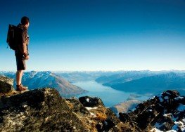
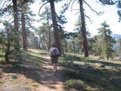
 The trail is easy and about 7 mi/11.26 km round trip. It is a lovely lake and especially in late spring or early summer you can enjoy the magnificent view of the majestic, snowy mountains. You can camp around the lake. Elevation gain of the trail is about 1000 to 1500 ft/304.8 to 457.2 m.
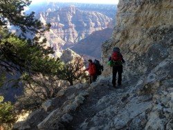
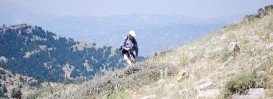
Many parts of the trail are rocky and uphill, but the entire trail is well marked. It is recommended to be in a good physical shape, if you want to take that route.