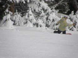
Bear Valley is a ski area located near Angels Camp, on highway 4, between Lake Tahoe and Yosemite, approximately 3 hours southeast of Sacramento, California, USA.
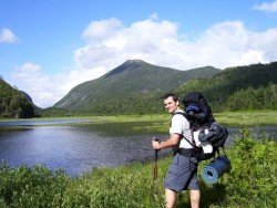
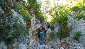
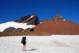
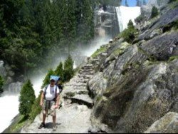
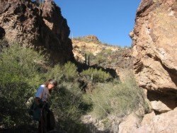
Near Bear Valley lies Ebbetts Pass, which is perfect for backpacking. Day rides can vary from unstrained quarter mile hikes to full day excursions on strenuous mountain peaks. One of the best walks is at Grover Hot Springs State Park. The Park has two trail paths.
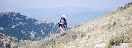
The first one is Transition Trail, which is a 0.5 mi/0.8 km loop with no elevation changes. It is a kind of easy nature hike, that makes a loop in Grover Hot Springs State Park. The second trail is Burnside Lake, which is a 4 mi/6.4 km, one way, steep mountain trail with 2400 ft/731 m elevation going up.
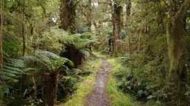
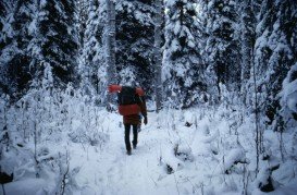
There is some uphill hiking involved on the Burnside Lake trek. It begins at the state park and then goes through a pine forest straight to Alpine Lake. It is a beautiful path with magnificent vistas. You can camp near the lake or waterfalls.