Everest Base Camp, Khumbu
Ama Dablam Mountain is a mountain situated in the Himalaya range of eastern Nepal. Its name means Mother’s necklace and it is the third most popular Himalayan summit for permitted expeditions.
Home  > MOUNTAIN SPORTS  > Backpacking / Trekking  > Strawberry, Sonora
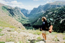
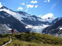
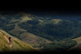
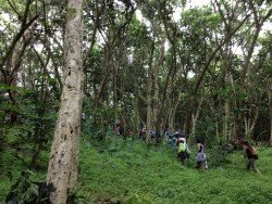
Trails are spread everywhere across the mountains. There is something for everyone in the Sonora Pass region, as there are all kind of trails, easy, intermediate and high elevation and also long day adventures. One of the best trails to backpack is Pinecrest to Strawberry. It is a 1.8 mi/2.9 km, easy trail with a 300 ft/91.4 m elevation loss.
After you reach Pinecrest Lake near the marina, just follow the trail to the dam. Start descending the trail and although you might find it difficult, watch over for the orange blazes, painted on the trees. The trail soon joins a dirt road. Afterwards, it becomes a ¼ mi/0.4 km, paved road to Strawberry.
Keep in mind that if you listen to a horn, you should get to higher ground, because water will be released from the dam. When you are at the lake, stand on the rocks and have lunch, while dipping your feet into the cool water. A beautiful place to camp is near the lake.
Ama Dablam Mountain is a mountain situated in the Himalaya range of eastern Nepal. Its name means Mother’s necklace and it is the third most popular Himalayan summit for permitted expeditions.
Te Anau is a small town, situated in Fiordland region, in the South Island of New Zealand.
Sonora Pass is located near Pinecrest, Tuolumne County, California, USA. It is off of Highway about 60 mi/96.5 km east of Sonora.
Bear Valley is a ski area located near Angels Camp, on highway 4, between Lake Tahoe and Yosemite, approximately 3 hours southeast of Sacramento, California, USA.
Queenstown is considered by many sportsmen as the capital of extreme sports and adventure activities. It is situated in Otago region, in the South Island, New Zealand.
Sonora Pass is located near Pinecrest, Tuolumne County, California, USA. It is off of Highway about 60 mi/96.5 km east of Sonora.
Bear Valley is a ski area located near Angels Camp, on highway 4, between Lake Tahoe and Yosemite, approximately 3 hrs southeast of Sacramento, California, USA.
Bear Valley is a ski area located near Angels Camp, on highway 4, between Lake Tahoe and Yosemite, approximately 3 hours southeast of Sacramento, California, USA.
Sonora Pass is located near Pinecrest, Tuolumne County, California, USA. It is off of Highway about 60 mi/96.5 km east of Sonora.
Bear Valley is a ski area located near Angels Camp, on highway 4, between Lake Tahoe and Yosemite, approximately 3 hours southeast of Sacramento, California, USA.
Mount Shasta is located in northern California, east of Interstate 5 along SR89, between Mount Shasta city and McCloud city, California, USA.
Sonora Pass is located near Pinecrest, Tuolumne County, California, USA. It is off of Highway about 60 mi/96.5 km east of Sonora.