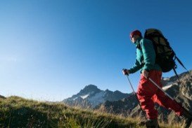
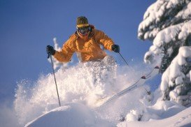
Bear Valley is a ski area located near Angels Camp, on highway 4, between Lake Tahoe and Yosemite, approximately 3 hours southeast of Sacramento, California, USA.
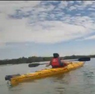
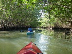
Near Bear Valley lies Ebbetts Pass. On Lake Alpine and on lakes around Spicer Reservoir there is flat water, perfect for kayaking. You can rent a kayak in Arnold, at Sierra Nevada Adventure Company or at Bear Valley Adventure Company. The second also offers kayaking instructions.
With all rentals, paddles and life jackets are included. Lake Alpine is found at an elevation of 7300 ft/2225 m and is open for kayaking from mid June to October. There are coves and a number of inlets to explore, along with granite islands at this 180 ac/7.28 m² lake. Afternoons might get windy.
Parking, rest rooms, day use areas, campgrounds and boat launch ramp are some of the amenities provided around the lake. Spicer Meadow Reservoir is located at the end of Spicer Meadow Reservoir Road. The lake has recently expanded and it’s over 2.000 ac/8.10 km² of water with many little inlets and bays on the 22 mi/35.4 km long shoreline that is worth investigating and exploring.
The lake is at an elevation of 6400 ft/1951 m and opens in June for kayaking. Amenities offered are restrooms, campgrounds, parking lots and a boat launch ramp. The part of the Carson-Iceberg Wilderness is closed for motorized boats and if you want to camp there, you need a wilderness permit.