![Shirley Meadows, Wofford Heights](https://www.xtremespots.com/wp-content/uploads/2013/01/Shirley-Meadows-Hiking-273x176.jpg)
Shirley Meadows, Wofford Heights
Shirley Meadows is located in Wofford Heights, on the Greenhorn Mountain, at about 60 mi/96.6 km northeast from Bakersfield, California, USA.
Home > MOUNTAIN SPORTS > Extreme Hiking / Hiking > Kirkwood Mountain Resort, Eldorado National Forest
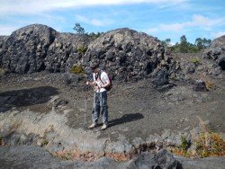
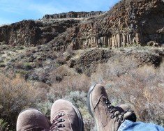
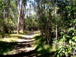
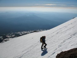
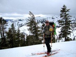
Kirkwood is surrounded by High Sierra Wildness and National Forest land, making it ideal for hiking. Carson Pass area offers many opportunities to hikers, experienced or not, to live an unforgettable adventure or exploration. Regardless of the time of year you want to hike, you will enjoy the scenery and the smell of wildflowers or the vivid fall colors in fall.
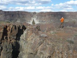
Hikes are divided into Peak Hikes, taking you through summit views and alpine meadows and Lake Hikes, taking you through beautifully secluded high alpine lakes. Lift access is offered on weekends with chairs 1 and 2. Some of the trails are : twin bridges, a 4 mi/6.5 km easy trail, Caples creek – Tahoe Rim, a 4 mi/6.5 km with moderate difficulty trail, Echo Lakes to Lake of the Woods & Ropi Lake, a medium difficulty trail.
Government Meadows – Tahoe Rim is another easy to moderate 0.5 mi/0.8 km trail, Buck Pasture – Tahoe Rim, a 3 mi/4.8 km moderate trail, Bryan Meadows – Tahoe Rim, a 3 mi/4.8 km moderate trail, Echo Lakes, a 2 mi/3.2 km trail for experts, Pacific Crest Trail, a 13.4 mi/21.5 km difficult trail, Highway 88 to Meiss Lake, a 4 mi/6.5 km moderate trail, Granite Lake Trail, a 1.5 mi/2.4 km easy to moderate trail, Pacific Crest Trail, a 22 mi/35.4 km difficult trail and Little Round Top, a difficult trail.
Shirley Meadows is located in Wofford Heights, on the Greenhorn Mountain, at about 60 mi/96.6 km northeast from Bakersfield, California, USA.
Wenatchee is the largest city of Chelan County, located in North Central Washington and lies on the west side of the Columbia River. The city is also known as the Apple Capital of the world, due to the valley's apple cultivations.
"Jackson, Mississippi: City with Soul" is the current motto for the notorious capital of the U.S. state of Mississippi, which sits atop the Jackson Volcano. Located at the southern border of the Mississippi Delta, Jackson is the capital as well as the largest city in the Mississippi state. The total area of 277 km²/106.95 mi² was inhabited by the Choctaw Nation for thousands of years before European encounter.
Sonora Pass is located near Pinecrest, Tuolumne County, California, USA. It is off of Highway about 60 mi/96.5 km east of Sonora.
The Knuckles Mountain Range, which lies in Sri Lanka, in the districts of Matale and Kandy, is a well-known eco tourism venue. It is also known as the Knuckles National Heritage and Wilderness Area.
South Lake Tahoe is located on the California–Nevada border, El Dorado County, California, USA.
Bear Valley is a ski area located near Angels Camp, on highway 4, between Lake Tahoe and Yosemite, approximately 3 hours southeast of Sacramento, California, USA.
Dodge Ridge ski resort is located near Pinecrest, Tuolumne County, California, USA. It is off of Highway 108.3 mi/174.3 km east of Sonora.
Sonora Pass is located near Pinecrest, Tuolumne County, California, USA. It is off of Highway about 60 mi/96.5 km east of Sonora.
Boreal Mountain Ski Resort is a ski area located in Soda Springs, near Lake Tahoe, California, USA. Nearest city is Truckee and the resort is on Highway 80, in the west of the city.
Bear Valley is a ski area located near Angels Camp, on highway 4 between Lake Tahoe and Yosemite approximately 3 hours southeast of Sacramento, California, USA.
Sonora Pass is located near Pinecrest, Tuolumne County, California, USA. It is off of Highway about 60 mi/96.5 km east of Sonora.