Big Lagoon, Trinidad
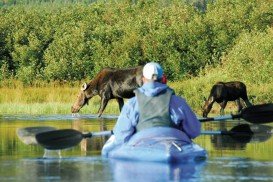
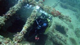
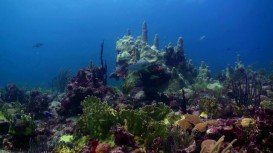
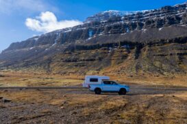
Big Lagoon is located at 7 mi/11.3 km north of Trinidad, Humboldt County, California, USA.
Home > WATER SPORTS > Kayaking > Magens Bay, Saint Thomas
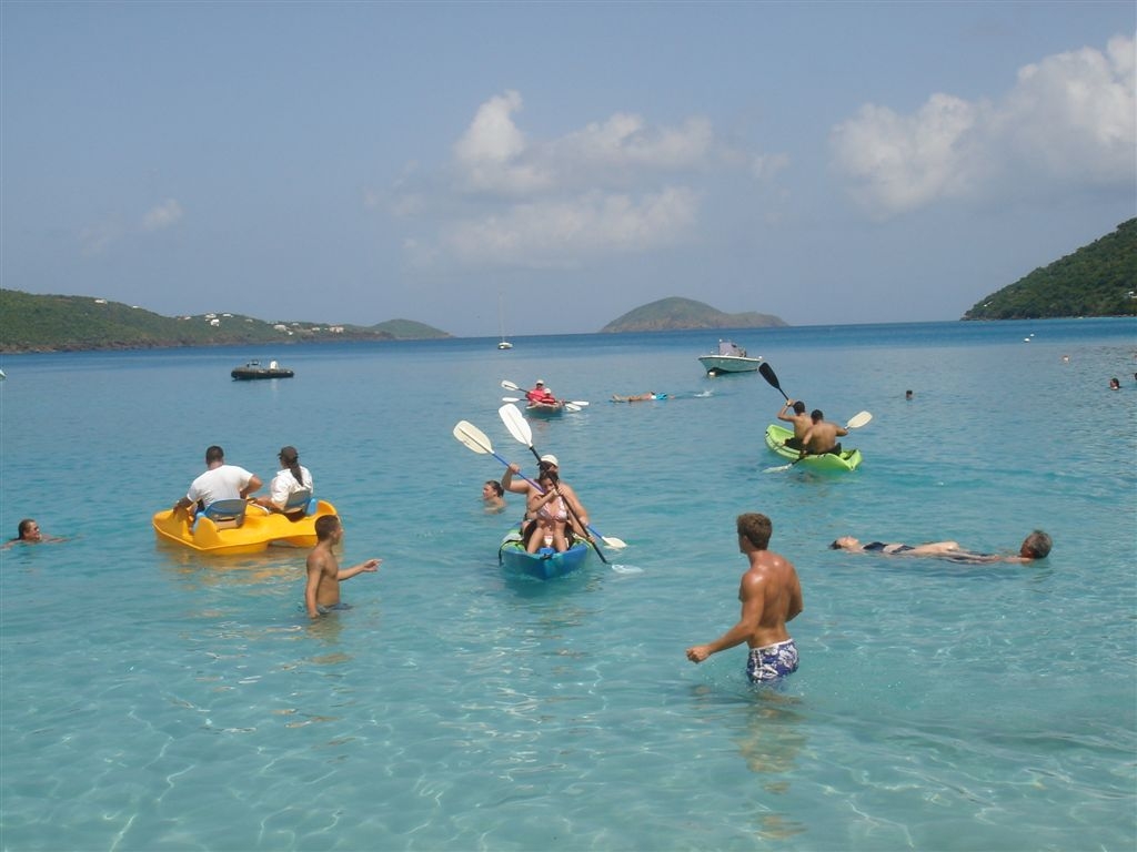
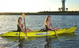
Magens Bay is considered to be the island’s gem. This beautiful beach is a public park, located on the north side of Saint Thomas. Although, it is very popular among families and watersport fans, it is still a lush, pristine location. Protected by two peninsulas, it offers calm waters that makes the beach a major kayaking destination.
This adventurous activity gives you the opportunity to explore every hidden part of Magens Bay. While admiring the breathtaking views, you can come across schools of tropical fish and colorful corals. For those looking to kayak at night and search for nocturnal life, there are centers that provide this alternative choice. You can also choose to either paddle alone or request for a guided tour. The centers offer single or double seat kayaks, which both are solid and stable.
The maximum depth here is 8 m/26.2 ft and the average water temperature varies from 75°F/24°C in winter to 80°F/27°C in summer. The spot hosts many kayak tour centers and no previous experience is required. Last but not least, Magens Bay caters a wide range of facilities, including dressing rooms, showers and gear rentals. Why wait longer, come and enjoy the best kayaking experience!!!

Big Lagoon is located at 7 mi/11.3 km north of Trinidad, Humboldt County, California, USA.
Sesimbra is a sunbathed municipality, located on Setubal Bay, at about half an hour away from Lisbon. Forming a natural harbor as it is positioned in the mouth of Sado River, the sea is rich with fish, especially swordfish and is known for its professional and sport fishing activities.
Torres del Paine is located in Southern Patagonia and is one of the numerous and spectacular national parks in Chile. It was created in 1959 and UNESCO has listed the location as a Biosphere Reserve since 1978. This place is a wonderland for nature enthusiasts from all over the world.
Gauja River is a well-known river in Vidzeme, Latvia. Apart from its natural beauty, Gauja River is also known as a great place for water sports.
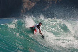
Saint-Crepin is situated in the Hautes-Alpes department (Provence Alpes region, Cote d'Azur) in the south-east of France at 45 km/27 mi from Gap, the departmental capital. The village is located near the Durance River, ideal spot for whitewater kayaking or canoeing.
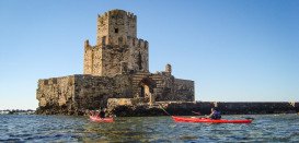
Epirus is a geographic and administrative region, located in northwestern Greece. It is considered to be the region with the more rainfall than any other part of the country. In fact, Epirus offers imposing landscapes of outstanding natural beauty as well as a wide variety of fauna and flora.
The Virgin Islands of the United States, or the U.S. Virgin Islands lie in the Caribbean Sea, east of Puerto Rico. This group of islands consist of the main islands of Saint Thomas, which is home to the capital city of the U.S. Virgin Islands, Saint John, Saint Croix, Water Island and other surrounding minor islands.The climate here is classified as tropical savanna climate, mostly affected by moderate trade winds.