![Tank Trail, Kimi-Euboea](https://www.xtremespots.com/wp-content/uploads/2013/05/Mountain-Biking-Freeride-the-Tank-Trail-273x181.jpg)
Tank Trail, Kimi-Euboea
Euboea is the second largest island in Greece, located on the eastern coast of Central Greece and is worldwide known for the extraordinary natural phenomenon of the tide's changes, taking place on the Euripus strait.
Home > MOUNTAIN SPORTS > Mountain Biking > Poore Lake, Toiyabe National Forest
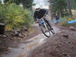
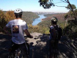
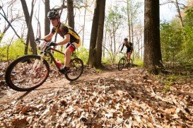
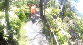
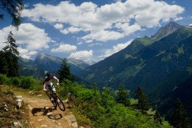
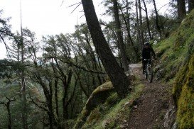
A popular sport at Sonora Pass is mountain biking. There are mountain biking trails along the Sonora Pass highway. You will find everything you need from gentle, railroad grades to steep, single tracks. There are great logging roads, perfect to explore.
Purchase a map of Stanislaus National Forest at the ranger station in MiWuk or Pinecrest and also a map of Toiyabe National Forest at the Bridgeport ranger station. A well known trail is Poore Lake. It is a 6.5 mi/10.5 km, one way, moderate trail with elevation gain of 500 ft/152.4 m.
Poore Lake is located on the east side of Sonora Pass, on Highway 108, at a turnout of about three quarters of a mile west of Sonora junction. This ride takes you lengthwise dirt roads and past a series of lakes such as Junction Reservoir, Kirman Lake, Mud Lake and finally Poore Lake. There are several roads connected, allowing variations to the route.
Euboea is the second largest island in Greece, located on the eastern coast of Central Greece and is worldwide known for the extraordinary natural phenomenon of the tide's changes, taking place on the Euripus strait.
Topeka is located along the Kansas River in the central part of Shawnee County, situated in northeast Kansas, in the central United States. It is the capital city of the state of Kansas and the county seat of Shawnee County.
Pasir Ris in Malay means "beach bolt-rope", simply implying a narrow beach. It is geographically divided into three regions, namely Loyang (East) Central and Elias (West). Due to its proximity to the sea, it has several recreation facilities and has a keenly preserved mangrove forest with boardwalks to allow visitors get closer to the inhabitants. The full length of the park is around 6.6 km/4.1 mi long.
Pitfichie Forest is 45 minutes away from Aberdeen city. It is considered as one of the best biking routes in the Scottish peninsula.
Cincinnati is situated in Hamilton County, Ohio, USA. The city is nestled on the north bank of the Ohio river right at the border of Ohio-Kentucky, near Indiana.
North West is a province in the northern part of South Africa, on the Botswana border and fringed by Kalahari desert to the west, Gauteng province to the east and Free State to the South. Home to the Sun City, it attracts both locals and tourists all year round and has a great deal to offer. It is peaceful and offers a sunny climate all year through, making for a most rewarding holiday experience.
Mount Shasta is located in northern California, east of Interstate 5 along SR89, between Mount Shasta city and McCloud city, California, USA.
Northstar California is a ski resort, located near Truckee, California, USA. It is a very big ski resort that has 3170 skiable acres/12.83 km².
Bear Valley is a ski area located near Angels Camp, on highway 4, between Lake Tahoe and Yosemite, approximately 3 hours southeast of Sacramento, California, USA.
Northstar California is a ski resort, located near Truckee, California, USA. It is a very big ski resort, covering 3170 skiable acres/12.83 km².
Homewood Mountain Ski Resort is located a few miles south of Tahoe City near Homewood, on the west side of Lake Tahoe, California, USA.
Bear Valley is a ski area located near Angels Camp, on highway 4, between Lake Tahoe and Yosemite, approximately 3 hours southeast of Sacramento, California, USA.
Badger Pass Ski Area is a small ski area which is located in Yosemite National Park, near Mariposa, California, USA.