Sugar Pine Railroad, Sonora
Sonora Pass is located near Pinecrest, Tuolumne County, California, USA. It is off of Highway about 60 mi/96.5 km east of Sonora.
Home > MOUNTAIN SPORTS > Backpacking / Trekking > Pacific Crest Trail, Angels Camp
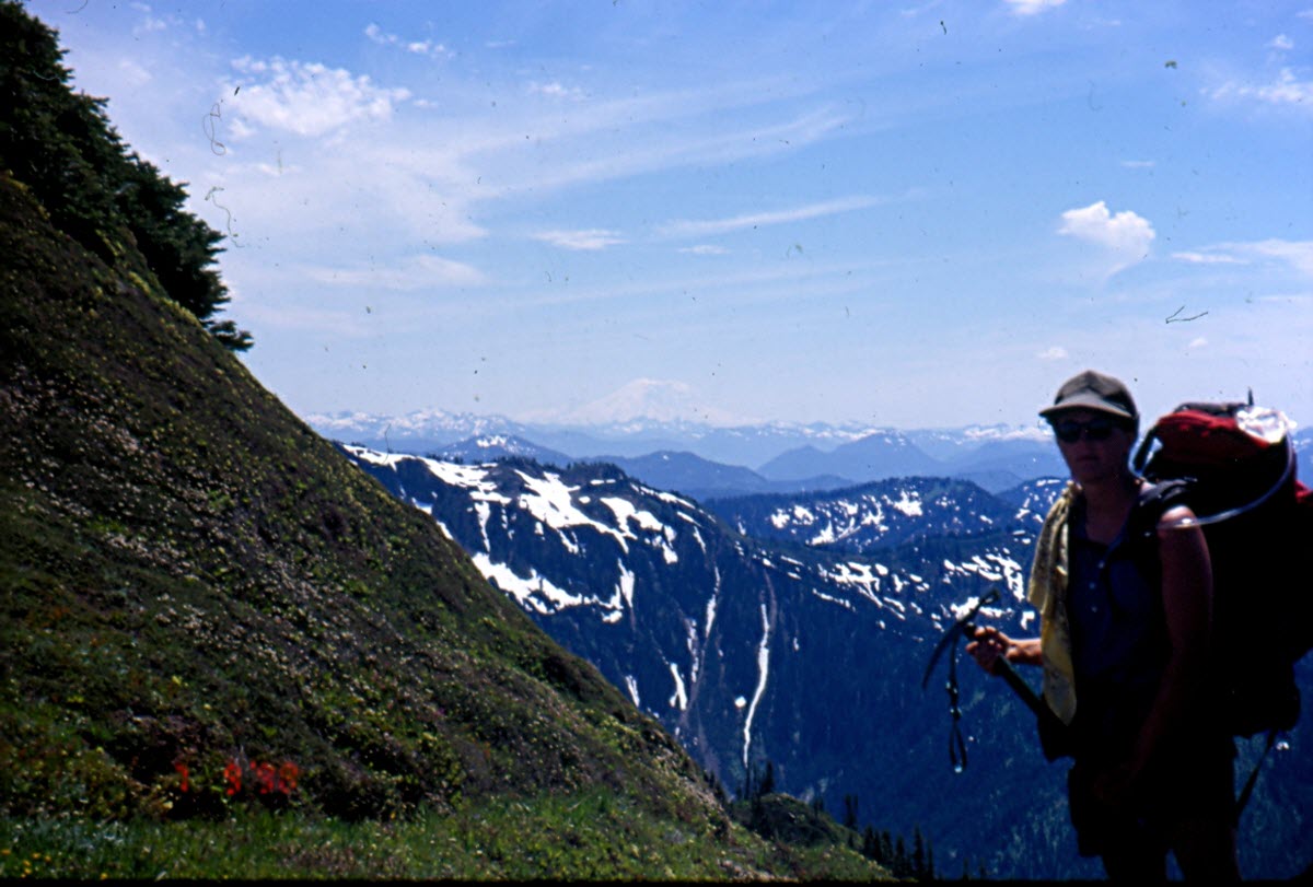
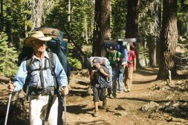
Near Bear Valley lies Ebbetts Pass, which is perfect for backpacking. Day rides can vary from unstrained, quarter mile rides to full day excursions on strenuous mountain peaks. One of the best rides at Ebbetts Pass is Pacific Crest Trail. There are two trail paths.
The first one is south of Noble Lake, which is a 3.5 mi/5.6 km, one way mountain trail with 500 ft/152.4 m descent elevation, changeable and 500 ft/152.4 m climb. The trailhead is at the parking lot. The trail drops down to 500 ft/152.4 m at Noble Creek and then gains back its elevation on its way up to Noble Lake.
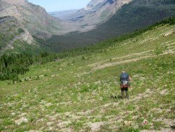
The second trail is north of Reynolds Peak. It is a 4 mi/6.4 km, one way mountain trail with 100 ft/30.5 m up and down elevation. The trailhead is along the Highway, east of Ebbetts Pass summit. While wandering, you will pass the Kinney Lakes, where you can camp if you want. Don’t miss walking next to the rugged volcanic slopes of Raymond and Reynolds Peaks.

Sonora Pass is located near Pinecrest, Tuolumne County, California, USA. It is off of Highway about 60 mi/96.5 km east of Sonora.
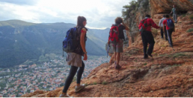
Leonidio, situated on the east coast of Peloponnese, combines surprisingly elements of mountain with sea. Adjacent in the Myrtoon Sea and settled in the highlands of Parnon Mountain range, the region is famous for its remarkable scenery, perfect for trekking activities.
Bali is a province in Indonesia with a few neighboring islands including the Isle of Bali. The island of Bali lies at about 8 degrees/ 0.13 radians on the south of equator and at 3.2 km/1.9 mi from Java. It is surrounded by coral reefs with white sand beaches on the south and black sand beaches on the north and the west of the island.
Located almost at 150 km/93 mi from Nairobi City, Mt. Kenya is located just south of the equator, offering three climbing routes, namely Naro-Moru, Sirimon and Chogoria. Mt. Kenya has magnificent cliffs and glaciers that protect the highest peaks. Highest peaks here are Batian at 5199 m/17057 ft, Nelion at 5188 m/17021 ft and Point Lenana at 4985 m/16355 ft.
Te Anau is a small town, situated in Fiordland region, in the South Island of New Zealand.
Sonora Pass is located near Pinecrest, Tuolumne County, California, USA. It is off of Highway about 60 mi/96.5 km east of Sonora.
Mount Shasta is located in northern California, east of Interstate 5 along SR89, between Mount Shasta city and McCloud city, California, USA.
Sonora Pass is located near Pinecrest, Tuolumne County, California, USA. It is off of Highway about 60 mi/96.5 km east of Sonora.
Mammoth Lakes is located near Mammoth Mountain, in California’s eastern Sierra about 100 mi/161 km south of Nevada State Line, 9 mi/14.5 km northwest of Mount Morrison, at an elevation of 7880 ft/2402 m, Mono County, California, USA.
Kirkwood Mountain Resort is a year round resort in Kirkwood, south of Lake Tahoe, in El Dorado County, California, USA. Kirkwood is at 33 mi/53.1 km south of South Lake Tahoe, on State Route 88 and it is surrounded by El Dorado National Forest.
Bear Valley is a ski area located near Angels Camp, on highway 4, between Lake Tahoe and Yosemite, approximately 3 hours southeast of Sacramento, California, USA.
Mammoth Lakes is located near Mammoth Mountain, in California’s eastern Sierra about 100 mi/161 km south of Nevada State Line, 9 mi/14.5 km northwest of Mount Morrison, at an elevation of 7880 ft/2402 m, Mono County, California, USA.