
Bender Road Trail, Cincinnati
Cincinnati is situated in Hamilton County, Ohio, USA. The city is nestled on the north bank of the Ohio river right at the border of Ohio-Kentucky, near Indiana.
Home  > MOUNTAIN SPORTS  > Mountain Biking  > Mount Shasta, Redding
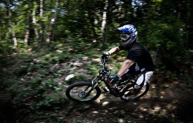
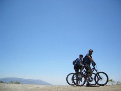
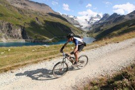
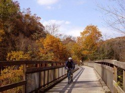
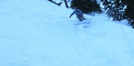
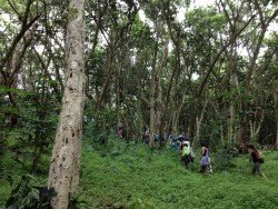
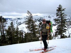
Mount Shasta is inside Shasta – Trinity National Forest and the second highest volcano in the Cascade Range. Mount Shasta is the perfect place for mountain biking. There are many trails for all levels of difficulty. Feel the refreshing air, while riding through the forest and enjoy the intoxicating smell of  wildflowers. View the wonderful vistas of Mount Shasta.
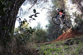
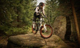
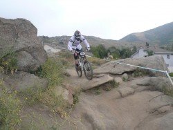
The trails are 8, 4 of which are in succession. The trails below, follow the succession from top to bottom. First trail is Panther Meadows or Old Ski Bowl. It is a difficult, gnarly, steep trail, extremely rocky with deep alpine sand. It is recommended to ride this trail in spring or fall. Second trail is Bunny Flats or The Entertainer. It is an easy, flowing and smooth trail.
It is rather easy, although there are some parts that you may need to push or pedal up a hill, especially when reaching the section, called The Staircase. This trail has numerous jumps. Next trail is Bone – crusher or Sand Flats or 10 – Mile. The trail is insanely technical. The bigger part of the trail is made of sandy rocks, bigger than your front wheel. First and last parts of the trail are like Bunny Flats.
Next trail is 8 Mile. It is an intermediate trail. Next trail is 4 Mile. It is a tight, jumpy single-track, short but sweet and favorite by less experienced riders. Next is Cliffhanger. It was finished in 2008 and has the perfect balance of flow and technicality.
Next trail is The Tunnel Trails. It is a flow trail with countless single-tracks. Last but not least is Washout. It is the most awesome technical trail you will find on the mountain. On this trail the gnarl-ness is flowing and the rocks are slick.
Cincinnati is situated in Hamilton County, Ohio, USA. The city is nestled on the north bank of the Ohio river right at the border of Ohio-Kentucky, near Indiana.
Glenorchy is a small settlement, situated in Otago region, in the South Island, New Zealand. It lies on the northern side of Lake Wakatipu and is surrounded by Richardson and Humboltd Ranges.
Wenatchee is the largest city of Chelan County, located in North Central Washington and lies on the west side of the Columbia River. The city is also known as the Apple Capital of the world, due to the valley's many apple cultivations.
Garden Route is a popular stretch of the south-eastern coastline of South Africa. It is sand-witched between the Indian Ocean and the Outeniqua and Tsitsikamma Mountains. It has a mild oceanic climate with mild to warm summers and mild to cool winters and considered second mildest climate after Hawaii according to the Guinness Book of Records.
Willamette Pass is a resort in Oregon and more specifically in Klamath County. Many people from all over the world visit this place, as they can fulfill their expectations here. So, be one of them and enjoy yourself in the most suitable place.
Euboea is the second largest island in Greece, located on the eastern coast of Central Greece and is worldwide known for the extraordinary natural phenomenon of the tide's changes, taking place on the Euripus strait.
Mount Shasta is located in northern California, east of Interstate 5 along SR89, between Mount Shasta city and McCloud city, California, USA.
Crescent South Beach is located near Crescent City, Del Norte County, California, USA.
Big Lagoon is located at 7 mi/11.3 km north of Trinidad, Humboldt County, California, USA.
Lake Talawa is located in Talawa Dunes State Park, north of Crescent City, Del Norte County, California, USA.
Bear Valley is a ski area located near Angels Camp, on highway 4, between Lake Tahoe and Yosemite, approximately 3 hours southeast of Sacramento, California, USA.
Point St. George is located in the northwest of Crescent City, west of the Airport, Del Norte County, California, USA.
Sonora Pass is located near Pinecrest, Tuolumne County, California, USA. It is off of Highway about 60 mi/96.5 km east of Sonora.