ADD COMMENT
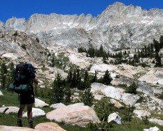
Yosemite National Park
/
California USA
Yosemite National Park is located near Mariposa, California, USA.
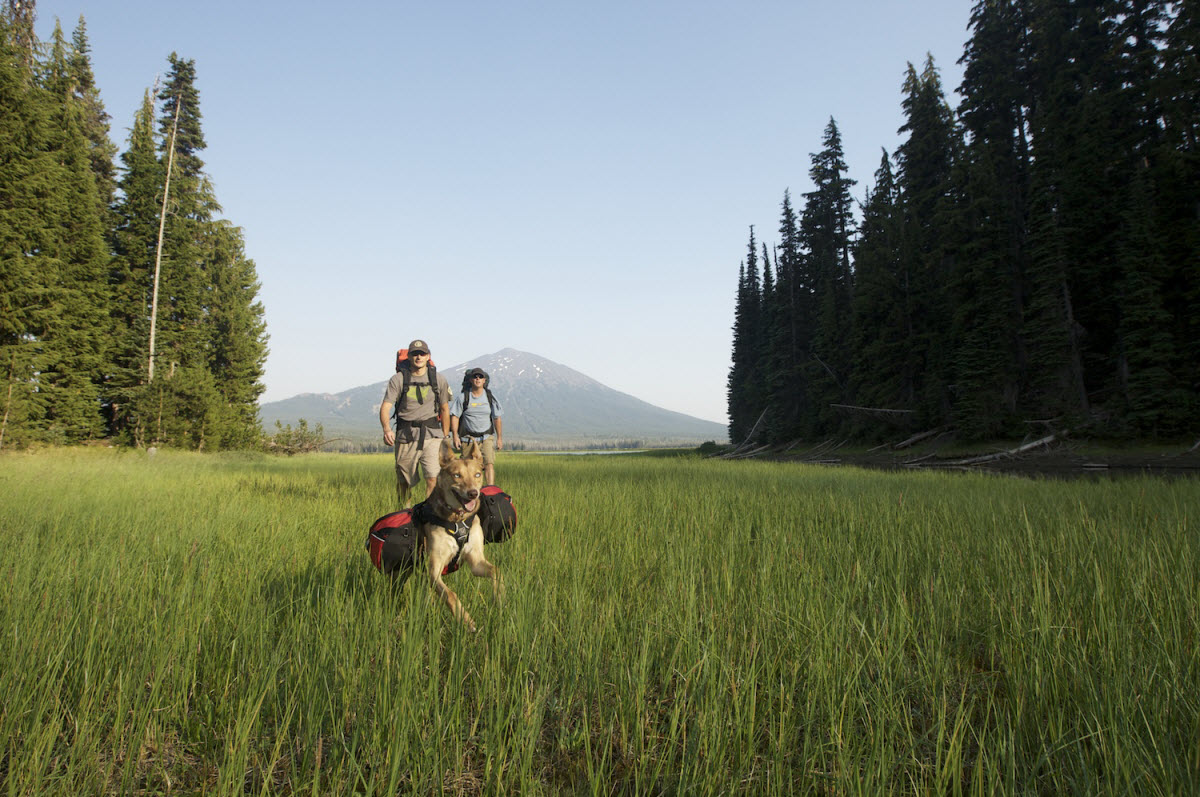
Mount Shasta is inside Shasta – Trinity National Forest and the second highest volcano in the Cascade Range. On the west of Mount Shasta, Mount Eddy dominates the mountain range across the valley. Black Butte Trail is east of Mount Shasta, south of the city of Mount Shasta and the Sacramento River and west of Mount Eddy and the Klamath Mountains.
You can only imagine the beauty of that trail, which is surrounded by all these magnificent breathtaking spots, making it perfect for backpacking. The trail was originally built in the late 1930’s by the Civilian Conservation Corps. It provides access to a Forest Service fire lookout, built at the summit and pack animals were used to bring the supplies.
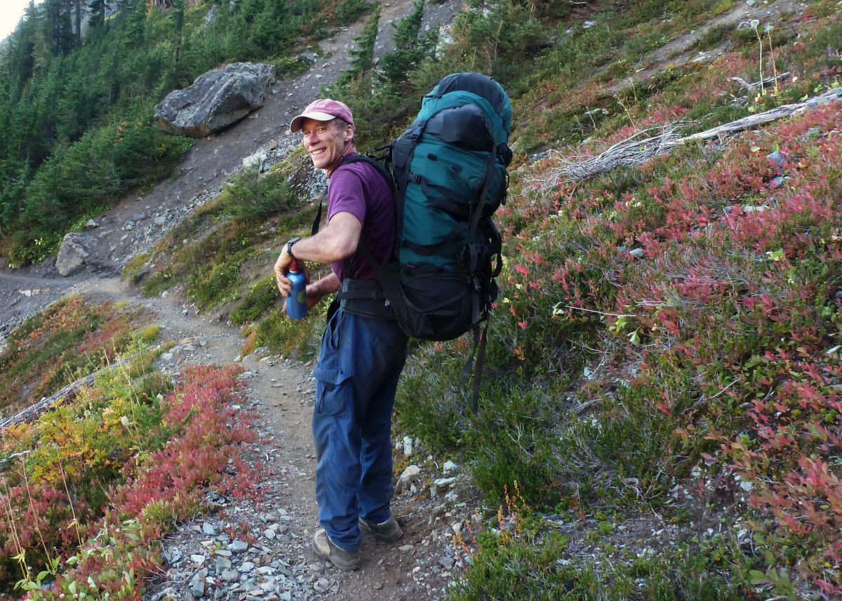
Although the trail is annually maintained, its surface is extremely rocky and steep. Along the trail there are also a few shady points, making the hike pleasant, especially in midsummer. When you pick a camping point, make sure that it has adequate water runoff and use plastic under your tent to stay dry.
If you go backpacking on early spring, prefer to camp on snow than on fragile damp areas of earth. Try to use an already used camping spot, so you won’t expand camping area. Watch out for bears, they are present in the wilderness, so hang your food away from the camp.
If you want to burn a campfire, do it only in established fire pits. Best season to go backpacking is from early April until late October, depending on weather conditions and snow.
Yosemite National Park is located near Mariposa, California, USA.
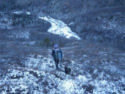
Mount Shasta is located in northern California, east of Interstate 5 along SR89, between Mount Shasta city and McCloud city, California, USA.
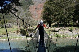
Glenorchy is a small settlement, situated in Otago region, at South Island in New Zealand. It lies on the northern side of Lake Wakatipu and is surrounded by Richardson and Humboltd Ranges.
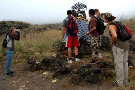
Bali is a province in Indonesia with a few neighboring islands including the Isle of Bali. The island of Bali lies at about 8 degrees/ 0.13 radians on the south of equator and at 3.2 km/1.9 mi from Java. It is surrounded by coral reefs with white sand beaches on the south and black sand beaches on the north and the west of the island.
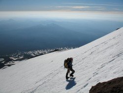
Mount Shasta is located in northern California, east of Interstate 5 along SR89, between Mount Shasta city and McCloud city, California, USA.
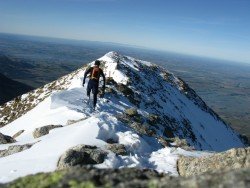
Methven is a small town in Canterbury region of the South Island. It is only 1.5 h drive at the west of Christchurch, the second largest city of New Zealand and is situated close to Mount Hutt, in the heart of Southern Alps.
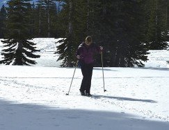
Mount Shasta is located in northern California, east of Interstate 5 along SR89, between Mount Shasta city and McCloud city, California, USA.
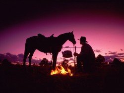
Sonora Pass is located near Pinecrest, Tuolumne County, California, USA. It is off of Highway about 60 mi/96.5 km east of Sonora.
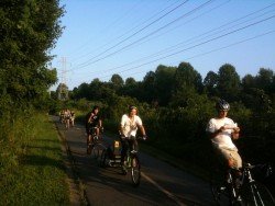
Squaw Valley Ski Resort is located in Olympic Valley, California, USA. It is one of the largest ski areas in the US after Heavenly and was the site of the 1960 Winter Olympics.
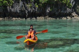
Big Lagoon is located at 7 mi/11.3 km north of Trinidad, Humboldt County, California, USA.
Yosemite National Park is located near Mariposa, California, USA.
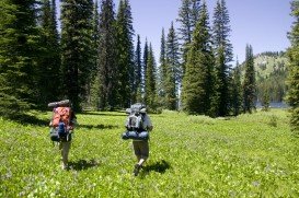
Mount Shasta is located in northern California, east of Interstate 5 along SR89, between Mount Shasta city and McCloud city, California, USA.
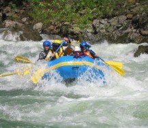
Mount Shasta is located in northern California, east of Interstate 5 along SR89, between Mount Shasta city and McCloud city, California, USA.
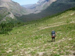
Sonora Pass is located near Pinecrest, Tuolumne County, California, USA. It is off of Highway about 60 mi/96.5 km east of Sonora.