
Mount Shasta, Redding
Mount Shasta is located in northern California, east of Interstate 5 along SR89, between Mount Shasta city and McCloud city, California, USA.
Home > MOUNTAIN SPORTS > Backpacking / Trekking > Leavitt Meadow, Sonora
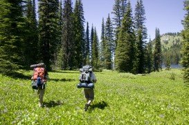
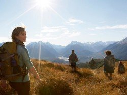
Trails are spread everywhere across the mountains. There is something for everyone in the Sonora Pass region, as there are all kind of trails, easy, intermediate and high elevation and also long day adventures. One of the best trails to go backpacking is Leavitt Meadow to Roosevelt Lake.
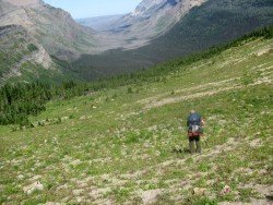
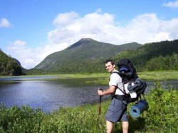
It is a 3 mi/4.8 km, moderate trail with elevation gain of 500 ft/152.5 m. Roosevelt Lake and Lane Lake are enjoyable, 3 mi/4.8 km trails on the east side of Sonora Pass. Next to the Leavitt Meadow Campground is the parking lot, where the trail begins. In order to reach the West Walker River, you have to pass through the campground and a bridge.
In the biggest part of the ride, you follow the edge of Leavitt Meadow, before climbing about 500 ft/152.5 m over a ridge and then dropping down to the lakes. You can try an alternative trail on return, adding only a half mile to the ride, that takes you past Secret Lake.
Mount Shasta is located in northern California, east of Interstate 5 along SR89, between Mount Shasta city and McCloud city, California, USA.
Te Anau is a small town, situated in Fiordland region, in the South Island of New Zealand.
Glenorchy is a small settlement, situated in Otago region at South Island in New Zealand. It lies on the northern side of Lake Wakatipu and is surrounded by Richardson and Humboltd Ranges.
Bear Valley is a ski area located near Angels Camp, on highway 4, between Lake Tahoe and Yosemite, approximately 3 hours southeast of Sacramento, California, USA.
Bear Valley is a ski area located near Angels Camp, on highway 4, between Lake Tahoe and Yosemite, approximately 3 hrs southeast of Sacramento, California, USA.
Mammoth Lakes is located near Mammoth Mountain, in California’s eastern Sierra about 100 mi/161 km south of Nevada State Line, 9 mi/14.5 km northwest of Mount Morrison, at an elevation of 7880 ft/2402 m, Mono County, California, USA.
Sonora Pass is located near Pinecrest, Tuolumne County, California, USA. It is off of Highway about 60 mi/96.5 km east of Sonora.
Mammoth Mountain is located in California’s eastern Sierra, at 100 mi/161 km south of Nevada State line and 50 minutes from the Eastern Gate of Yosemite National Park.
Bear Valley is a ski area located near Angels Camp, on highway 4 between Lake Tahoe and Yosemite approximately 3 hours southeast of Sacramento, California, USA.
Heavenly Mountain Resort is located near the city of South Lake Tahoe, on the California-Nevada border, El Dorado County, California, USA.
Boreal Mountain Ski Resort is a ski area located in Soda Springs, near Lake Tahoe, California, USA. Nearest city is Truckee and the resort is on Highway 80, in the west of the city.
Soda Springs ski resort is located near Soda Springs, Nevada County, California, USA. Soda Springs ski resort is just off of Highway 80, near the Donner Summit.
Mount Shasta is located in northern California, east of Interstate 5 along SR89, between Mount Shasta city and McCloud city, California, USA.
Sonora Pass is located near Pinecrest, Tuolumne County, California, USA. It is off of Highway about 60 mi/96.5 km east of Sonora.