Calaveras Big Trees State Park, Angels Camp
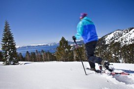
Bear Valley is a ski area located near Angels Camp, on highway 4, between Lake Tahoe and Yosemite, approximately 3 hrs southeast of Sacramento, California, USA.
Home > MOUNTAIN SPORTS > Backpacking / Trekking > Arnold Rim Trail, Angels Camp
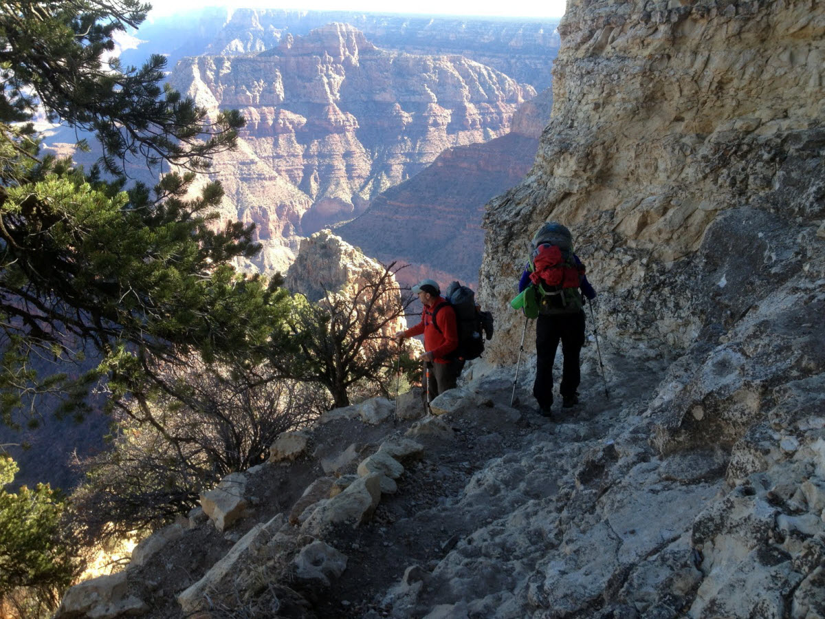
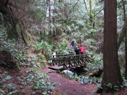
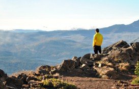
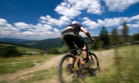
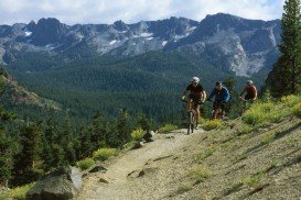
Near Bear Valley lies Ebbetts Pass, which is perfect for backpacking. Day rides can vary from unstrained, quarter mile rides to full day excursions on strenuous mountain peaks. One of the best rides is at the Arnold Rim Trail. It is a 10.5 mi/16.9 km, one way trail. It has elevation changes of several hundred feet.
The trail runs at the moment from White Pines Lake, west of Sheep Ranch Road, near Avery. You can also walk out of the trail as far as you want and then head back. The Arnold Rim Trail follows San Antonio Creek, intersected on the north side to the south, approximately 2.5 mi/4 km south of White Pines Lake.
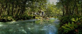
You can camp around the lake or near the trail. While walking the path, you can enjoy the landscapes of Cougar Rock, San Antonio Falls and Penny Pines. Arnold Rim Trail Association has many volunteers and with the collaboration of other community volunteers created the trail. The entire trail is marked.

Bear Valley is a ski area located near Angels Camp, on highway 4, between Lake Tahoe and Yosemite, approximately 3 hrs southeast of Sacramento, California, USA.
Glenorchy is a small settlement, situated in Otago region, in the South Island, New Zealand. It lies on the northern side of Lake Wakatipu and is surrounded by Richardson and Humboltd Ranges.
Bear Valley is a ski area located near Angels Camp, on highway 4, between Lake Tahoe and Yosemite, approximately 3 hours southeast of Sacramento, California, USA.
Glenorchy is a small settlement, situated in Otago region at South Island in New Zealand. It lies on the northern side of Lake Wakatipu and is surrounded by Richardson and Humboltd Ranges.
Hell's Gate is located in the South of Lake Naivasha and at about 90 km/55 mi in the northwest of Nairobi City. It covers an area of 68 km²/26.25 mi² and is at 1900 m/6233 ft above sea level. Some of the highlights are the Fischer's tower, Central tower and Hell's Gate gorge. Although there is a wide variety of wildlife, it is famous for a variety of bird species including vultures, verreaux's eagles, swifts and augur buzzards.
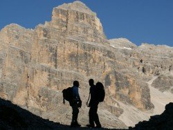
The Dolomite area offers a wide variety of trekking itineraries with different levels of difficulty for the sport's fans. With countless paths and routes in a breathtaking landscape, the entire area seems to be the ideal destination for hiking on the mountains! The choices are endless in the Dolomite's open playground arena such as Arabba, Creppe Rossa, Selva di Cadore, Sasso Bianco, Val Civetta, Croda da Lago, Val di Fassa.
Northstar California is a ski resort, located near Truckee, California, USA. It is a very big ski resort, covering 3170 skiable acres/12.83 km².
Sonora Pass is located near Pinecrest, Tuolumne County, California, USA. It is off of Highway about 60 mi/96.5 km east of Sonora.
Mount Shasta is located in northern California, east of Interstate 5 along SR89, between Mount Shasta city and McCloud city, California, USA.
Lake Shasta Caverns is located in northern California, east of Interstate 5 along SR89, between Mount Shasta city and McCloud city, California, USA.
Mount Shasta is located in northern California, east of Interstate 5 along SR89, between Mount Shasta city and McCloud city, California, USA.
Mammoth Lakes is located near Mammoth Mountain, in California’s eastern Sierra about 100 mi/161 km south of Nevada State Line, 9 mi/14.5 km northwest of Mount Morrison, at an elevation of 7880 ft/2402 m, Mono County, California, USA.
Mammoth Mountain is located in California’s eastern Sierra, at 100 mi/161 km south of Nevada State line and 50 minutes from the Eastern Gate of Yosemite National Park.
Mount Shasta is located in northern California, east of Interstate 5 along SR89, between Mount Shasta city and McCloud city, California, USA.