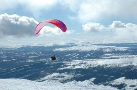
Orizaba is a city and municipality in the Veracruz Mexican state, in the eastern Mexico. At the north side of the city of Orizaba, there is a volcano named ''Pico de Orizaba'' with a height of 5636 m/18491 ft. Pico de Orizaba is the highest mountain in Mexico and the third highest in North America.
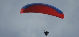
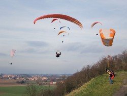
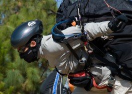
The paragliding spot of Fortin de las Flores is standing between the cities of Orizaba and Cordoba. These two cities are located on the southwestern side of Veracruz and on the northern side of Oaxaca. The take off point is set at a height of 1294 m/4245 ft, while the landing point is at a height of 879 m/2883 ft. The take off point is situated on the mountain named ”Cerro de san Juan de las Antenas”. For more experienced, paragliding enthusiasts, the GPS coordinates for taking off are 18°52’10” (18.8697)N; 97°0’13” (97.0038)W and for landing 18°51’53” (18.865)N; 96°59’30” (96.9919)W. However, both novices and experienced pilots can take some lessons, as many paragliding schools prefer this spot.
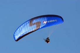
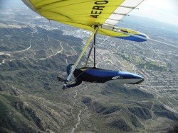
The wind direction is usually from East and South-East. The pilots should be very careful, as there is an airport in front of the take off point. So, you should not fly close to it. The average annual temperature varies from 22˚C/71.6˚F to 26˚C/78.8˚F. This spot is definitely the ideal one, if you like to admire the unique combination of plains and mountains. You should grab the opportunity and live this amazing experience!!!