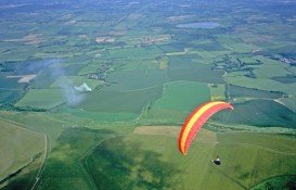
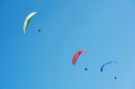
Oaxaca is one of southern Mexican states and its capital city is Oaxaca de Juárez. The state borders the Pacific Ocean to the south, where there are many beautiful beaches. Zaachila is standing at the southeastern side of Oaxaca, an amazing spot for paragliding fans.
It is a popular place, especially to the paragliding enthusiasts. It takes about 50 minutes to reach the spot of Zaachila from Oaxaca. The GPS coordinates for the taking off area are 16°55’58” (16.9328)N; 96°51’11” (96.8532)W, at an elevation of 2314 m/7592 ft. The landing point is found at 16°56’53” (16.9482)N; 96°48’50” (96.814)W, at an elevation of 1629 m/5344.5 ft. The ideal wind direction is from the North-East, South-East and East.
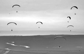
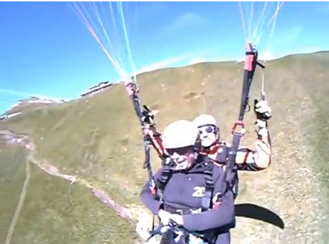
Paragliding at Zaachila is not always sure, as the spot is influenced by the weather conditions. More specifically, this extreme sport may be cancelled, because of strong winds and especially western winds. You should also be very careful, as you can not go farther than Elefante Rosa, where the airport area begins. If you haven’t got any experience on paragliding, don’t worry, since specialized instructors will help you and answer all your questions.
After your thrilling flight, you can spend your free time at the archaeological zone of Zaachila and the two tombs.