Durance River, Hautes Alpes
Canyoning in the heart of the Southern Alps, in the Hautes Alpes, on the banks of the Durance river, between the Queyras Regional Natural Park in the east, and the largest National French Park, les Ecrins in the West.
Home > MOUNTAIN SPORTS > Canyoning > Jalbire Canyon, Chitwan
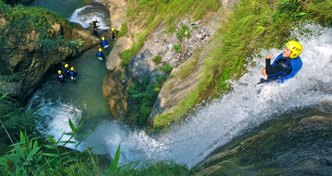
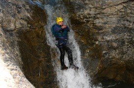
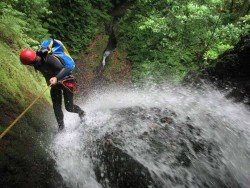
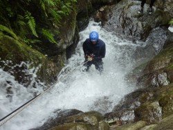
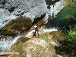
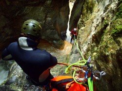
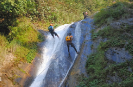
Jalbire Canyon is about 20 minutes drive south headed from the Mugling junction of the Priviti and Naryanghar Highways. At a nearby place, called Kabilas is where Jalbire Canyon is located, just near the confluence of the Seti and Trisuli river, but on the opposite side of the highway. The climate is continental, usually wet and humid and because of that, one can be prone to infections. Its water volume is manageable. In many parts it is needed to abseil or to slide.
Its cascade waterfalls, an amazing 100 m/328 ft high water drop at the top of the canyon, represent a unique setting for canyoning. The many water pools, the incredible rocky formations of karstic character make Jalbire canyon a superb canyoning spot. The surrounding jungle creates the perfect scenery for truly exciting moments. With three waterfalls at 25 m/82 ft high the fun is guaranteed.
Although Nepal is a small country, it has so many water bodies to swim, cliffs to abseil, waterfalls to slide that will definately impress any demanding visitor! You should be extremely careful in the roads. Due to the lack of hospital facilities in most of the areas, you should be very cautious regarding your health status. But, in the end of the day, you are there because you are an extremer!!!!!!
Enjoy every jump!!!!

Canyoning in the heart of the Southern Alps, in the Hautes Alpes, on the banks of the Durance river, between the Queyras Regional Natural Park in the east, and the largest National French Park, les Ecrins in the West.
The Gorges du Verdon, located in south-eastern France (Alpes-de-Haute-Provence), is a river canyon, considered to be one of the most beautiful in Europe. It is about 25 km/16 mi long and up to 700 m/2296 ft deep, formed by the Verdon River and named after for its startling turquoise-green color.
Cape Winelands is an area of vast vines and vineyards as the name suggests. Situated in the north east of Cape Town, it constitutes fertile green valleys, towns and villages surrounded by proud mountains. It is characterized by Mediterranean Climate and the winter rain contributes to the famous wine production which can be found in most of the world's corners.
Cetina is one of the richest in water quantity rivers in southern Croatia, with a total length of 63 mi/101 km. Situated in a rich in flora and fauna region with lush forest, waterfalls, lakes, high cliffs and crystal clear water, Cetina River is of great archaeological and historical importance and has a variety of activities to offer to the outdoor enthusiasts.
Mount Olympus is the highest mountain in Greece, known worldwide for its mythological importance, as according to the religion of the ancient Greeks, the 12 "Olympian" gods lived there. Located in Pieria region, on the borders of Macedonia and Thessaly, this incredible mountainous massif has a number of peaks with the highest of all, called Mytikas, reaching a top elevation of 9573 ft / 2918 m and is surrounded by deep gorges and areas of outstanding biodiversity.
The Shivapuri Nagarjun National Park, located in the mid-hill region of the country and only at few kilometers in the southwest of Kathmandu. The spot is named after the Shivapuri Peak of 2732 m /8963 ft altitude, covering an area of 159 km² (61 mi²) in the districts of Kathmandu, Nuwakot and Sindhupalchowk. The Shivapuri Park represents a great destination for climbers due to its crack limestone origin of its cliffs and the many climbing routes.
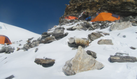
The Mera Peak is lying in Mahalangur Himal, in Eastern Region of Nepal. The Peak is located in Hinku valley in Sagarmatha Zone which also includes Mt. Everest. Although it hosts considerably marked and familiar routes, Mera Peak remains a challenging and demanding climbing destination.
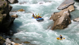
The Bhote Koshi river stems from Tibet and is part of the Koshi River System. It is considered to be as the steepest and most ranging river in Nepal. Here, rafting can be only extreme and absolutely exciting!
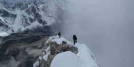
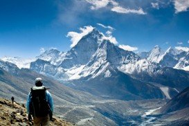
Ama Dablam Mountain is a mountain situated in the Himalaya range of eastern Nepal. Its name means Mother’s necklace and it is the third most popular Himalayan summit for permitted expeditions.
Trisuli river originates in the highland of Tibet and is one of the largest rivers in Nepal. It crosses Nepal for many kilometers / miles creating spectacular canyons, sandy banks and vertical cliffs!
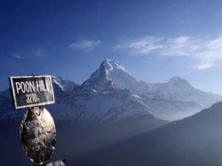
Pokhara is the third largest city of Nepal and its location is usually referred the one city being close to the heart of the country. North of Pokhara and at about 200 km/124.4 mi west of the capital city of Kathmandu, lies the Ghorepani Poon Hill Trek.
Ama Dablam Mountain is a mountain situated in the Himalaya range of eastern Nepal. Its name means Mother’s necklace and it is the third most popular Himalayan summit for permitted expeditions.
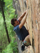
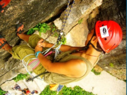
The mountainous Nepal, which hosts the majority of the highest mountain peaks worldwide, is the perfect destination for extreme mountain activities. Rock climbing here acquires a different meaning. In a land where the hill's altitude ranges between 3500 m/11482 ft and 1000 m/3280 ft, climbing in the rock of the ''next door'' seems so natural!