Meall Buidhe, Knoydart
Meall Buidhe is an incredible mountain, which lies in the Knoydart area.
Home > MOUNTAIN SPORTS > Extreme Hiking / Hiking > Eagle Meadow, Sonora
Hiking trails are spread everywhere across the mountains. There is something for everyone in the Sonora Pass region, as there are all kind of trails, easy, intermediate and high elevation and also long day adventures. Eagle Meadow is located east of Highway 108, approximately half an hour away.
There are three easy, natural, wonder trails. The first one is Columns of the Giants. It is a one way, quarter mile (0.25 miles/0.4 km) trail located next to the Pigeon Flat Campground, which is approximately 1.5 mi/2.4 km east of Dardanelles Resort. It is an easy trail, that takes you to an unusual geologic formation with magnificent views of basalt columns, reminding of the Devil’s Postpile.
The second one is Trail of the Gargoyles. It is a 1.5 mi/2.4 km, one way trail, taking you to some strangely shaped, volcanic, rock formations, called Trail of the Gargoyles. To reach this trail, drive east from Strawberry to the Herring Creek Road turnoff on the right.
When reaching the overlook up the trail, you get a spectacular view of a canyon and mountains. The third trail is the Trail of the Ancient Dwarfs. It is a one way, 5 mi/8 km hike, leading you through a forest of ancient dwarf trees. A visit to this trail is best combined with a view of the ancient Bennett Jupiter, because they are both near Eagle Meadow.

Meall Buidhe is an incredible mountain, which lies in the Knoydart area.
Almeria is a province of the Autonomous Community of Andalusia, between Enix, Pechina and Nijar. With mountain sierras and a 40 km/25 mi of seacoast terrain, Almeria enjoys a subtropical Mediterranean climate with hot summers and warm winters.
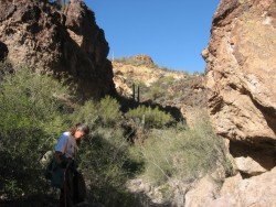
Sonora Pass is located near Pinecrest, Tuolumne County, California, USA. It is off of Highway about 60 mi/96.5 km east of Sonora.
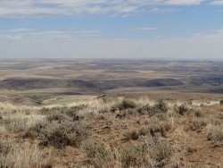
Wenatchee is the largest city of Chelan County, located in North Central Washington and lies on the west side of the Columbia River. The city is also known as the Apple Capital of the world, due to the valley's apple cultivations.
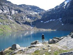
Björkliden lies at 250 km/155 mi inside the Arctic Circle in the majestic Swedish Lappland, the Europe’s last true and secret wilderness. Björkliden Fjällby offers great outdoors activities in a unique wild setting. The spot is a great starting point for all kind of hiking activity in the Kiruna area.
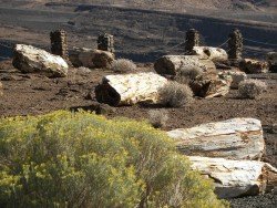
Wenatchee is the largest city of Chelan County, located in North Central Washington and lies on the west side of the Columbia River. The city is also known as the Apple Capital of the world, due to the valley's apple cultivations.

Sonora Pass is located near Pinecrest, Tuolumne County, California, USA. It is off of Highway about 60 mi/96.5 km east of Sonora.
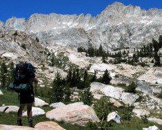
Yosemite National Park is located near Mariposa, California, USA.

Sonora Pass is located near Pinecrest, Tuolumne County, California, USA. It is off of Highway about 60 mi/96.5 km east of Sonora.
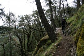
Mount Shasta is located in northern California, east of Interstate 5 along SR89, between Mount Shasta city and McCloud city, California, USA.
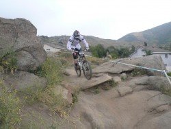
Mount Shasta is located in northern California, east of Interstate 5 along SR89, between Mount Shasta city and McCloud city, California, USA.
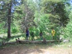
Sonora Pass is located near Pinecrest, Tuolumne County, California, USA. It is off of Highway about 60 mi/96.5 km east of Sonora.
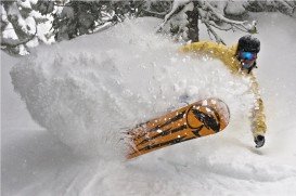
Squaw Valley Ski Resort is located in Olympic Valley, California, USA. It is one of the largest ski areas in the US after Heavenly and was the site of the 1960 Winter Olympics.

Soda Springs ski resort is located near Soda Springs, Nevada County, California, USA. Soda Springs ski resort is just off of Highway 80, near the Donner Summit.

