Grover Hot Springs State Park, Angels Camp
Bear Valley is a ski area located near Angels Camp, on highway 4, between Lake Tahoe and Yosemite, approximately 3 hours southeast of Sacramento, California, USA.
Home > MOUNTAIN SPORTS > Extreme Hiking / Hiking > Devastation Trail, Volcano National Park
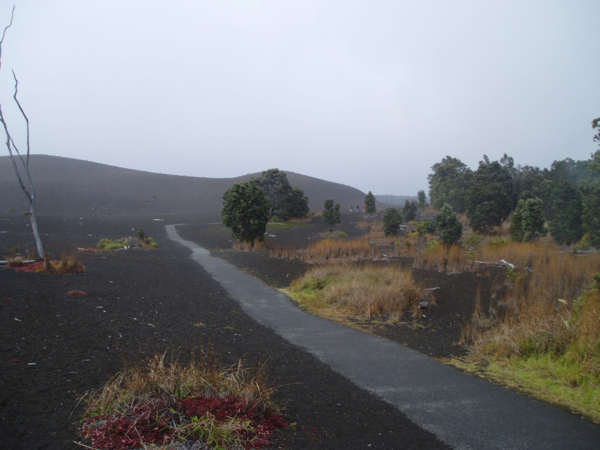
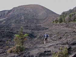
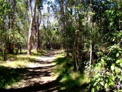
The park is an international World Heritage site and provides visitors with several exciting hiking opportunities. Devastation trail is an easy paved route of 1 mi/1.6 km long, less than an hour round trip with starting point at the Devastation parking lot on Crater Rim Drive.
Hiking there is an amazing experience because this trail was formed after the Kilauea Iki’s 1959 eruption and you walk through tree molds, cinder outfall and a rainforest trying to recover. Hikers should wear hiking shoes and long pants. Take water and snacks with you, as well as sunglasses, sunscreen and a hat because the sun can be very intense.
Due to the unstable terrain conditions, it is recommended, before choosing Devastation Trail, to consult the Volcano National Park website for any park alerts that might prevent you from following this route.

Bear Valley is a ski area located near Angels Camp, on highway 4, between Lake Tahoe and Yosemite, approximately 3 hours southeast of Sacramento, California, USA.
Wenatchee is the largest city of Chelan County, located in North Central Washington and lies on the west side of the Columbia River. The city is also known as the Apple Capital of the world, due to the valley's apple cultivations.
Sesriem settlement is situated in the heart of the Namib Desert and at 304 km/189 mi from the Namibian capital city, Windhoek. Sesriem is the access point for the marvelous Naukluft National Park, one of the largest worldwide.
What if you want to take a taste of the whole UK during a small journey? Swansea’s tranquil land is suitable for hiking in small-organized groups or with your own company.
Wenatchee is the largest city of Chelan County, located in North Central Washington and lies on the west side of the Columbia River. The city is also known as the Apple Capital of the world, due to the valley's apple cultivations.
Torres del Paine is located in Southern Patagonia and is one of the numerous spectacular national parks in Chile. It was created in 1959 and UNESCO has listed the location as a Biosphere Reserve since 1978. This place is a wonder land for hikers from all over the world.
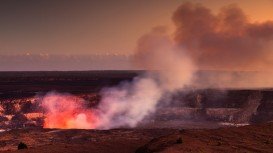
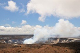
Volcano National park is located at 30 mi/48 km in the southwest of Hilo Town in Hawaii. The park was established in 1916 and is a combination of unique ecosystems and diverse environments that range from the sea to the summit of the world's biggest volcano, Mauna Loa, as well as Kilauea witch is the world's most active volcano.
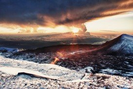
Mauna Kea is one of the five active volcanoes on the island of Hawaii, at 35 mi/56 km in the West of Hilo Town. Its peak is the highest point in the state, standing at 13803 ft/4207 m above the sea level.
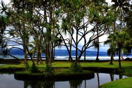
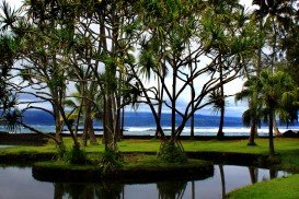
Richardson's beach is located in Hilo, Hawaii, which is the most populated city of the island. Hilo is an old fashioned bay front town, with tropical rain forest climate all year long and home of the Tsunami Museum, dedicated to the understanding of the 1946 Pacific Tsunami.
Volcano National park is located at 30 mi/48 km in the southwest of Hilo Town in Hawaii. The park was established in 1916 and is a combination of unique ecosystems and diverse environments that range from the sea, to the summit of the world's biggest volcano, Mauna Loa, as well as Kilauea witch is the world's most active volcano.
Volcano National park is located at 30 mi/48 km in the southwest of Hilo Town in Hawaii. The park was established in 1916 and is a combination of unique ecosystems and diverse environments that range from the sea to the summit of the world's biggest volcano, Mauna Loa, as well as Kilauea witch is the world's most active volcano.
Bayfront beach is located in Hilo, Hawaii, which is the most populated city of the island. Hilo is an old fashioned bay front town, with tropical rain forest climate all year long and home of the Tsunami Museum, dedicated to the understanding of the 1946 Pacific Tsunami.
Tombstones beach is located between Paukaa and Wainaku Village Hawaii, at about seven minutes drive from Hilo, which is the most populated city on the island.
Kulani is a mountain located South of Hilo district, Hawaii. The nearest places to Kulani forest are Na Lua Mahoe, Pu'ulala'au natural area reserve and Upper Ola'a Forest reserve.