

ADD COMMENT
Nobadeer Beach, Nantucket Island
/
Massachusetts USA
Nobadeer beach is one of the many beaches in Nantucket island.
The park lies on a bluff, overlooking the Pacific Ocean. It is a sandy small beach, appropriate for walking and surfing for all kind of surfers. Wave quality is normal and wave frequency is regular. Type of the wave is beach – break and wave direction is right and left.
Bottom of the sea is sandy. Power of the wave is fun. Its normal length is short, up to 164 ft/50 m and on good days is normally 164 to 492 ft/50 to 150 m. Good swell direction is northwest, west and southwest and good wind direction is east. Swell size starts at less than 1 m / 3 ft and holds up to 2 m+ / 6 ft+.
Best tide position is all tides. Surfers should watch out for rips / underflow and sharks.
Nobadeer beach is one of the many beaches in Nantucket island.
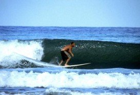
La Rochelle is the capital of the Charente – Maritime department. It is a port city connected to the Île de Ré with a 2.9 km / 1.8 mi long bridge that was completed on May 19th, 1988. The harbor opens to a protected strait, the Pertuis d'Antioche. La Rochelle is situated in western France and is seaport on the Bay of Biscay which is a part of the Atlantic Ocean.

Bamburi Beach is a 20 minutes drive from Mombasa town and 45 minutes from Mombasa International airport. It overlooks the calm waters of the Indian Ocean and within the Mombasa Marine Park.
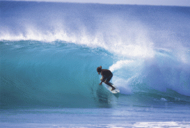
Puerto Rico is situated in the northeastern Caribbean and consists of an archipelago that includes the main island of Puerto Rico and a number of smaller islands. The climate here is classified as tropical marine climate, with an average temperature of 82.4°F/ 28°C, throughout the year. Although it is a small island, the smallest island of the Greater Antilles, Puerto Rico provides superb natural surroundings, countless adventure experiences and many places of historical interest.
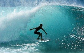
Victoria is the second-smallest state of Australia. It borders with New South Wales to the north and Tasman Sea to the east. The unique combination of spectacular coastline, pristine beaches, numerous national parks, dense forests and mountains attract visitors all year long and offer a plethora of activities to sport lovers.

Chandeleur Islands are a barrier of islands situated about an hour southeast from Venice, Louisiana, USA. They are a chain of uninhabited islands of about 50 mi/80 km long in the Gulf of Mexico. The islands are a part of the Breton National Wildlife Refuge and the easternmost point of the Louisiana state. Chandeleur Islands are known as being an important migrating spot for a lot of birds, traveling south, a forest wildlife area and also a prime marsh.
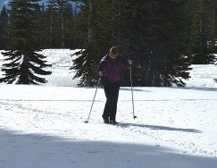
Mount Shasta is located in northern California, east of Interstate 5 along SR89, between Mount Shasta city and McCloud city, California, USA.
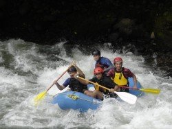
Big Lagoon is located at 7 mi/11.3 km north of Trinidad, Humboldt County, California, USA.
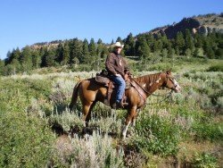
Mount Shasta is located in northern California, east of Interstate 5 along SR89, between Mount Shasta city and McCloud city, California, USA.
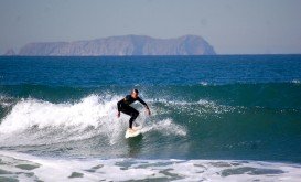
Garth’s Reef is located near Crescent City, at short distance to the south, in Del Norte County, California, USA.
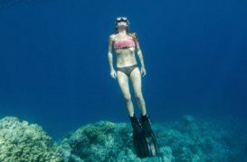
Big Lagoon is located at 7 mi/11.3 km north of Trinidad, Humboldt County, California, USA.
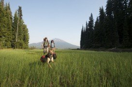
Mount Shasta is located in northern California, east of Interstate 5 along SR89, between Mount Shasta city and McCloud city, California, USA.
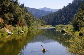
Klamath River begins in southern Oregon, Cascade Mountains and flows until Requa, Pacific Ocean, California, for more than 240 mi/386 km.
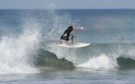
Enderts beach is located 3 mi/4.8 km south of Crescent City off Highway 101 Paved beach. Crescent city is in Del Norte County, California, USA.