Agrinio is the largest city and economical center of Aetoloakarnania. The climate here, as in the rest of the country, is classified as Mediterranean, with mild winters and hot, dry summers.
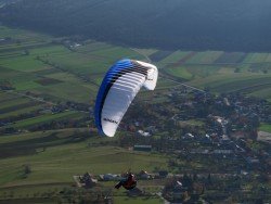
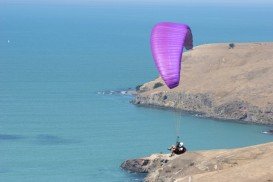
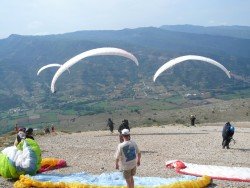
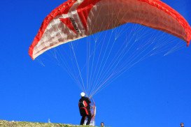
Paravola is a small city that lies on the north side of the Trichonida lake, close to the foothills of Mount Panachaiko. It is located within 20 minutes from the city of Agrinio and is one of the most popular paragliding spots in the area. Once in the air, you will admire breathtaking panoramic lake views and the endless green meadows of Agrinio.
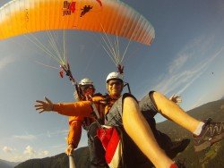
The take off altitude is at 549 m/1800 ft above sea level and the take off point is found at 38°38’7″ (38.6355)N; 21°31’19” (21.5222)E. The take off area is covered with grass and oak trees, but be careful as the slope is a bit steep. In addition, the landing point is found at 38°36’50” (38.614)N; 21°30’56” (21.5156)E, at the field next to the school. Furthermore, the ideal wind direction is coming from the West and Southwest. Thanks to its climate, the site welcomes advanced pilots at almost any time of the year. Finally, there are paragliding centers, operating on the site that offer equipment and lessons for your paragliding adventures!