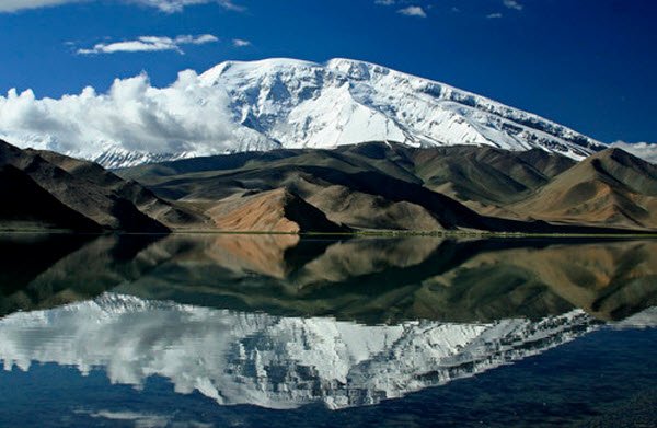
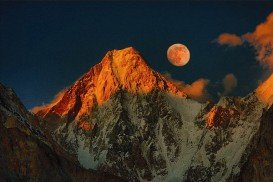
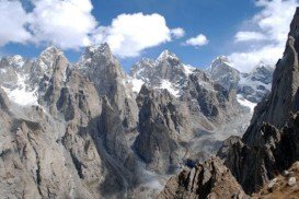
Muztagh Ata, also known as Muztaghata, is the second highest mountain of the range, forming the northern edge of the Tibetan Plateau. Its name literally means “ice-father-mountain” and is one great mountaineering destination.
Easy and popular Muztagh Ata is a famous peak, attracting all kind of rock climbers from all around the world who want to try something different. The Pakistani area of the Karakoram range is full of opportunities for climbing. However, in order to reach the spot, you need to cross frontiers with neighborly China.
There are many reasons to justify the Muztagh Ata’s popularity. The access is very easy. Within only few hours, you can reach the spot by the asphalted Karakoram Highway. Permit and fees for climbing in this spot are reasonably priced, compared to other similar spots.
Situated close to the old Silk Road, the spot is a very interesting part of the world where nature is stunning. But the main reason of its reputation is that the spot offers the easiest peak for acces at this altitude.
Its climbing history is quite interesting since many efforts have been made before anyone conquered its summit. The first recorded attempt to climb this peak dates back to 1984 when a famous cartographer and explorer tried to ascent the mountain on the back of a yak!
The yak didn’t make it and he tried alone to reach the summit with no success. Other promising expeditions that took place in 1900, 1904 and 1947 have had the same fate.
The next attempt was made by a couple of famous and experienced climbers, nonetheless they didn’t manage to reach the summit, due to the extreme cold and deep snow. The notorious peak was finally climbed in 1956 by a massive Soviet-Chinese group, using the west ridge. Using the western side of the peak, there are two routes where you can test your mountaineering skills.
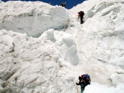
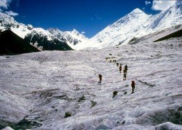
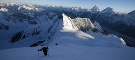
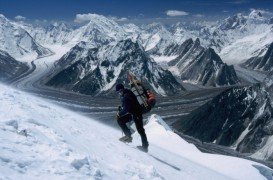
The normal route is situated in the northernmost of the two glacier and snow slopes of the Muztagh Ata. The climb is straight forward with no technically difficult sections. Between 5500 and 6100 m/18004 and 20013 ft high, an icefall is located. Apart from some crevasses, there is no objective danger.
On the west side of the peak, on the more southern slope you will find the much less used traditional route. The route is equally easy but slightly longer. The crevasse danger suppose to be lower but since not many climbers use this route, there should be a concern and stay alert.
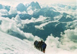
The two routes are never too steep to cross, possibly up to 40 degrees. Since you have most probably to battle yourself with snow, snow shoes and skis would be handy for your cross and highly recommended. Among all other routes, only two more routes have been climbed. A team has reached the summit via the east ridge in 2000.
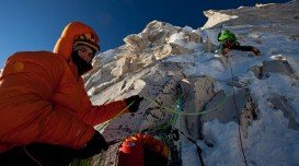
Bear in mind that no peak over 6000 – 6500 m/19685 – 21325 ft high is easy to conquer, so you should be very careful. There are many local schools that will help you to safely and successfully go with that venture.
