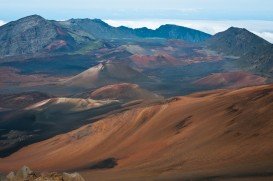
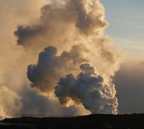
Mauna Loa is one of the five active volcanoes in the island of Hawaii, the largest one on earth in volume and in kilometers covered. Its peak stands at 13679 ft/4169 m above the sea level.
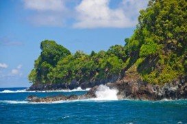
The summit of the mountain lies above the forest line and the terrain consists of mostly lava rocks and shrubs due to its alpine weather conditions. Because of the volcano eruptions, there are lava flows all around the mountain and some of them flow all the way down to the sea. The view from Mauna Loa is breathtaking. You can see right next to it the Mauna Kea volcano and since you are in Hawaii, the nature’s diversities from low ground tropical wet temperatures to mountain high, alpine, dry and cold temperatures.
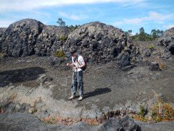
The trail begins from the Mauna Loa Weather Observatory center at 11000 ft/3352 m and is 26 mi/41 km long as a round trip. It is recommended for hikers to spend a night in their cars near the observatory so as to adjust their body to high altitude, before taking this trail. It is considered to be a difficult trail, rough and remote, recommended for experienced and well equipped hikers.
Hikers should wear light and layered clothes, hiking boots and warm socks and take enough food and water that will last them at least two days. It is possible to hike the observatory trail to the summit and back in one day, but if you can’t make it, you can spend the night at the Mauna Loa Cabin after being registered with the Park’s Service before you leave. The town of Hilo is at 44.6 mi/71 km away. Don’t forget to take sunglasses and sunscreen with you.