ADD COMMENT
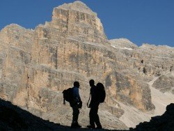
Cortina d’ Ampezzo, Belluno
/
Veneto Italy
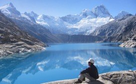
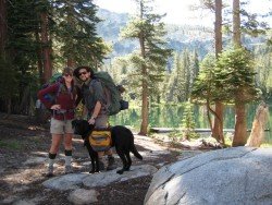
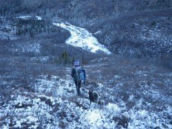
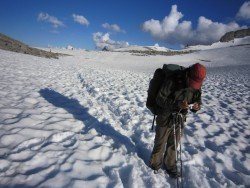
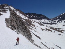
The Dolomite area offers a wide variety of trekking itineraries with different levels of difficulty for the sport's fans. With countless paths and routes in a breathtaking landscape, the entire area seems to be the ideal destination for hiking on the mountains! The choices are endless in the Dolomite's open playground arena such as Arabba, Creppe Rossa, Selva di Cadore, Sasso Bianco, Val Civetta, Croda da Lago, Val di Fassa.