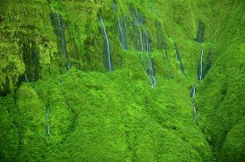
Waihe’e Valley Trail, Kahului
Kahului is located in Maui Island on Hawaii and is the largest city of the Island. It is considered to be a shopping destination because there are several major stores and malls.
Home > MOUNTAIN SPORTS > Extreme Hiking / Hiking > Pacific Crest Trail, Angels Camp
Near Bear Valley lies Ebbetts Pass, which is perfect for hiking. Day hikes can vary from unstrained, quarter mile hikes to full day excursions on strenuous mountain peaks. One of the best hikes at Ebbetts Pass is Pacific Crest Trail. There are two trail paths.
The first one is south of Noble Lake, which is a 3.5 mi/5.6 km, one way mountain trail with 500 ft/152.4 m descent elevation, changeable and 500 ft/152.4 m climb. The trailhead is at the parking lot. The trail drops down to 500 ft/152.4 m at Noble Creek and then gains back its elevation on its way up to Noble Lake.
The second trail is north of Reynolds Peak. It is a 4 mi/6.4 km, one way mountain trail with 100 ft/30.5 m up and down elevation. The trailhead is along the Highway, east of Ebbetts Pass summit. While hiking, you will pass the Kinney Lakes and don’t miss walking next to the rugged volcanic slopes of Raymond and Reynolds Peaks.

Kahului is located in Maui Island on Hawaii and is the largest city of the Island. It is considered to be a shopping destination because there are several major stores and malls.
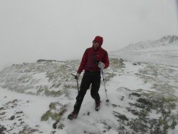
Knoydart known as the Rough Bounds lies between the lochs Nevis and Hourn in Lochaber peninsula.
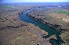
Wenatchee is the largest city of Chelan County, located in North Central Washington and lies on the west side of the Columbia River. The city is also known as the Apple Capital of the world, due to the valley's apple cultivations.
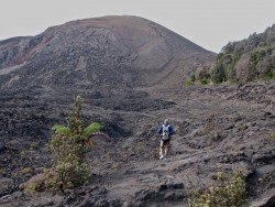
Volcano National park is located at 30 mi/48 km in the southwest of Hilo Town in Hawaii. The park was established in 1916 and is a combination of unique ecosystems and diverse environments that range from the sea to the summit of the world's biggest volcano, Mauna Loa, as well as Kilauea witch is the world's most active volcano.
Mont Orford is the best place for those who want to escape and forget their worries. It is widely known that Mont Orford can offer to its visitors the best vacations in winter as well as summer season. So, visit this place in both seasons and it is sure that you will never regret it. Mont Orford is a mountain, ski resort and a provincial park in the Eastern Township of Quebec, Canada.
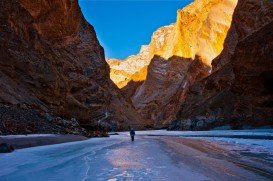
Would you dare to walk over frozen river ice with cold fast flowing water rushing just a few inches below your feet? If the answer is yes, then the Chadar Frozen River Trail is a once in a lifetime adventure and it takes place in the highest plateau of Kashmir state, between the Kunlun mountain range and the Great Himalayas, in India.
Sugar Bowl ski resort is a ski area in northern Placer County, near Norden, along Donner Pass of Sierra Nevada, at about 46 mi/74 km from Reno on Interstate 80, California, USA. The resort was opened on the 15th of December, 1939.
Bear Valley is a ski area located near Angels Camp, on highway 4, between Lake Tahoe and Yosemite, approximately 3 hours southeast of Sacramento, California, USA.
Sugar Bowl ski resort is a ski area in northern Placer County, near Norden, along Donner Pass of Sierra Nevada, at about 46 mi/74 km from Reno on Interstate 80, California, USA. The resort was opened on the 15th of December, 1939.
Soda Springs ski resort is located near Soda Springs, Nevada County, California, USA. Soda Springs ski resort is just off of Highway 80, near the Donner Summit.
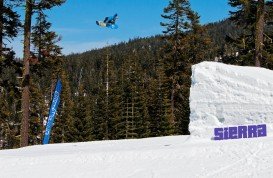
Sierra at Tahoe is a ski resort located near Twin Bridges on Hucklberry Mountain, south of Lake Tahoe, California, USA.
Bear Valley is a ski area located near Angels Camp, on highway 4, between Lake Tahoe and Yosemite, approximately 3 hours southeast of Sacramento, California, USA.
Mammoth Lakes is located near Mammoth Mountain, in California’s eastern Sierra about 100 mi/161 km south of Nevada State Line, 9 mi/14.5 km northwest of Mount Morrison, at an elevation of 7880 ft/2402 m, Mono County, California, USA.
Mount Shasta is located in northern California, east of Interstate 5 along SR89, between Mount Shasta city and McCloud city, California, USA.