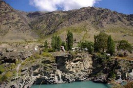
Sonora Pass is located near Pinecrest, Tuolumne County, California, USA. It is off of Highway about 60 mi/96.5 km east of Sonora.
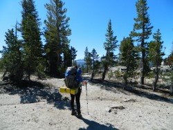
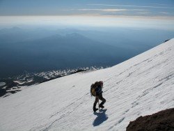
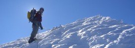
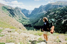
Trails are spread everywhere across the mountains. There is something for everyone in the Sonora Pass region, as there are all kind of trails, easy, intermediate and high elevation and also long day adventures. One of the best trails to go backpacking is Iceberg Meadow to Boulder Creek.
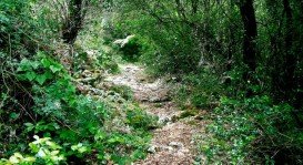
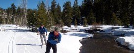
It is a 2.5 mi/4 km, moderate trail with elevation gain of 500 ft/152.4 m. It is a shaded, forest ride, taking you from Iceberg Meadow up the Clark Fork. It is a kind of easy trail, having only a moderate elevation gain. In the biggest part of the trail you are near the Clark Fork, giving you the opportunity to stop and fish.
Watch out for hawks, nesting in the trees. After walking 2.5 mi/4 km of the trail, you get close the junction to Boulder Creek trail. Boulder Lake is up the trail about 1.5 mi/2.4 km, but is a steep 1200 ft/365.8 m climb and the trail is not so good maintained.
While continuing for about 7.5 mi/12 km up the Clark Fork Trail, you reach the top of Saint Marie’s Pass. A good place to camp is near the Meadow.