
Inner Blue Fish Reef, North Head
North Head is the northern headland of the entrance to Sydney Harbour. All along this section, there are several excellent dive sites.
Home  > WATER SPORTS  > Scuba Diving  > Coki Beach, Saint Thomas
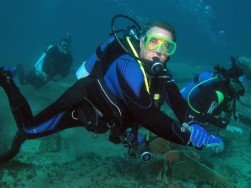
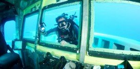
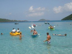
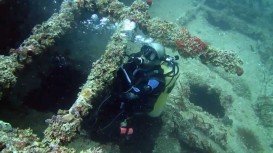
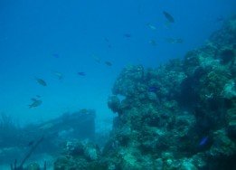
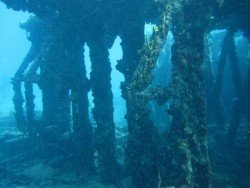
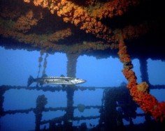
St. Thomas is home to a wide variety of fish species, corals, as well as shipwrecks. The island boasts many dive sites that promise an enjoyable diving experience! Coki beach is situated adjacent to Coral World Ocean Park.
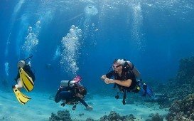
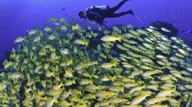
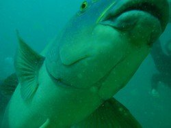
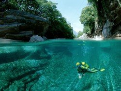
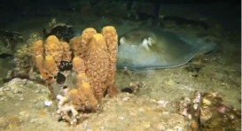
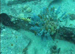
The sandy beach with the crystal clear waters provides excellent snorkeling and diving conditions. Divers of all skill and experience levels visit the spot to explore an interesting marine life, full of reef fish and many hard and soft corals. Stingray, nurse sharks, barracuda, eels and turtles can be seen passing by. It is generally a shallow dive, as the average depth is 8 m/26.2 ft and the maximum is 15 m/49.2 ft. Visibility is excellent, as it can reach more than 30 m/98.4 ft and can be higher depending on weather conditions.
In addition, the average water temperature varies from 75°F/24°C in winter to 80°F/27°C in summer, offering good diving conditions all year round. Last but not least, it is also a great site for night diving. So, if you feel like exploring the underwater world, Coki beach is a must visit place!!!
North Head is the northern headland of the entrance to Sydney Harbour. All along this section, there are several excellent dive sites.
Ushuaia is the capital city of the Tierra del Fuego province in Patagonia, commonly referred as the southernmost city in the world, being also an important naval base. It is located in a wide open bay, on the south coast of Isla Grande de Terra del Fuego and bordered in the north by the Martial mountain range.
Perth is the capital city of Western Australia, located on the Swan River. The climate here is classified as Mediterranean, with hot and dry summers and cool and wet winters. Immerse yourself in the unique combination of stunning natural surroundings, beautiful beaches with clear waters, greenery park-lands and outstanding city architecture that attract visitors all year long.
Whyalla is located on the western shore of upper Spencer Gulf, at 394 km/244 mi in the northwest of Adelaide, in South Australia. The Pointnt Lowly Lighthouse and nearby beach is just a 20-minute drive from Whyalla, at about 34 km/21 mi on a sealed road.
The Illes Medes (in Catalan) or Ilsas Medas (in Spanish) is a wonderful small group of seven islets in the northwest Mediterranean Sea. They are situated east of the coastal town of L'Estartit.
On the northern beaches of Manly, Shelley/Shelly beach is popular for its amazing marine life and its great facilities.
The Virgin Islands of the United States, or the U.S. Virgin Islands lie in the Caribbean Sea, east of Puerto Rico. This group of islands consist of the main islands of Saint Thomas, which is home to the capital city of the U.S. Virgin Islands, Saint John, Saint Croix, Water Island and other surrounding minor islands.The climate here is classified as tropical savanna climate, mostly affected by moderate trade winds.