
Breckenridge, Continental Divide Western Slope
Berthoud Pass is located between Idaho Springs and Winter Park and is one of the closest areas in Denver for whitewater kayaking. It belongs to Boulder County and is just an hour away.
Home  > WATER SPORTS  > Kayaking  > Lake Earl, Crescent City
The lake is connected to Lake Talawa on the west by a narrow channel of water. It is named after Talawa people, who as native people occupied the area previous to European colonization in 1850s. If you are a nature enthusiast, Lake Earl is the perfect place to be.
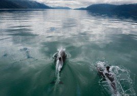
Visitors can observe hundreds of species of birds, coyote, deer, raccoon that can be spotted in the trail along the park. In spring and summer, wild flowers make the scenery look like a colorful painting. Along the coast, many marine mammals are prowling around like harbor seals, sea lions, gray whales that migrate from Alaska to Baja California.
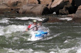
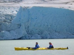
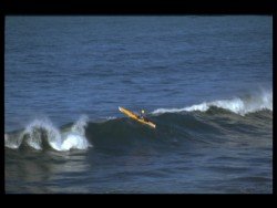
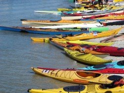
Lake Earl is a perfect spot for kayaking. It maintains its level by using the beach like a dam and then it breaches the sand and lowers itself. The elevation ranges between +2- 8 ft/+0.6-2.4 m or more. Put-In is at the Narrows, because of the absence of mud. Narrows is located at the spot, where Lake Earl becomes Lake Talawa.
It is one of the deepest spots in the lagoon and the bank drops off at an optimum angle. Access is gained from the village Fort Dick.
Berthoud Pass is located between Idaho Springs and Winter Park and is one of the closest areas in Denver for whitewater kayaking. It belongs to Boulder County and is just an hour away.
Torres del Paine is located in Southern Patagonia and is one of the numerous and spectacular national parks in Chile. It was created in 1959 and UNESCO has listed the location as a Biosphere Reserve since 1978. This place is a wonderland for nature enthusiasts from all over the world.
Langebaan Lagoon is situated at 120 km/74 mi north of Cape Town and stretches at 20 km/12 mi in length and 4 km/2.5 mi in width. Unlike other lagoons, Langebaan is pure salty water. The white sandy beaches and crystal clear waters are just breathtaking whether it is sunny or cloudy.
Pasir Ris in Malay means "beach bolt-rope", simply implying a narrow beach. It is geographically divided into three regions, namely Loyang (East) Central and Elias (West). Due to its proximity to the sea, it has several recreation facilities and has a keenly preserved mangrove forest with boardwalks to allow visitors get closer to the inhabitants. The full length of the park is around 6.6 km/4.1 mi long.
Germasogia is a village in Limassol district area, on the South coast of Cyprus. It was built, in ancient times, between two mountains so that it'd be hidden from enemies during the times when the island was in wars. Now, it is privileged to be surrounded by the same, yet evolved, beautiful scenery.
Outer Banks, also known as OBX, is a 200 mi/322 km long string of narrow barrier islands of the coast of North Carolina. A small portion of it extends further in Virginia, at the beginning of the southern corner of Virginia Beach, on the east coast of the United States. It is a major tourist destination and known for its temperate climate.
Rogue River is situated in southwestern Oregon, near the city of Grants Pass.
Mount Shasta is located in northern California, east of Interstate 5 along SR89, between Mount Shasta city and McCloud city, California, USA.
Crescent South Beach is located near Crescent City, Del Norte County, California, USA.
Mount Shasta is located in northern California, east of Interstate 5 along SR89, between Mount Shasta city and McCloud city, California, USA.
Rogue River is situated in southwestern Oregon, near the city of Grants Pass.
Wilson Creek Beach is located near Klamath, Del Norte County, California, USA.
Big Lagoon is located at 7 mi/11.3 km north of Trinidad, Humboldt County, California, USA.
Mount Shasta is located in northern California, east of Interstate 5 along SR89, between Mount Shasta city and McCloud city, California, USA.