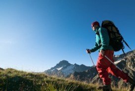
Sonora Pass is located near Pinecrest, Tuolumne County, California, USA. It is off of Highway about 60 mi/96.5 km east of Sonora.
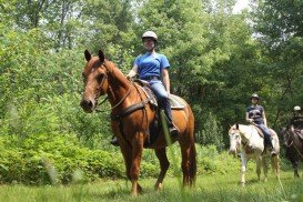
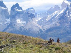
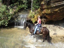
There are some very popular trails for horseback riding in Sonora Pass. One of the best trails is Crabtree Trailhead to Deer Lake. From Highway 108, one mile east of Cold Springs turn onto Crabtree Road (4N26) and then follow it to Crabtree Trailhead. The ride up to Deer Lake is 9.5 mi/15.3 km with 1500 ft/457.2 m elevation gain.
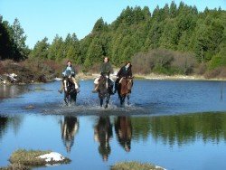
This trail leads you past Camp Lake and through Piute Meadow, just before climbing up past Gem and Jewelry Lakes. On 2009 a new hitching trail was installed at the trailhead by a member of the Backcountry Horsemen California – Mid Valley Unit. You can visit Aspen Meadow Pack Station, located on the Bell Meadow Road, a few miles from Pinecrest Lake.
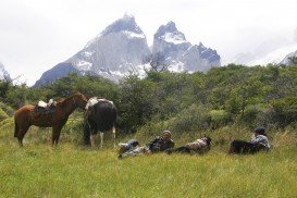
It is a convenient location both for day rides and overnight pack trips. It provides horses and pack mules, that are trained and raised on the mountains, to carry you and your gear over the terrains. It doesn’t matter if you have none or any experience, because the instructors will guide you through every difficulty you might find.
Aspen Meadows offers day and half day rides. All rides are guided and the overnight trips are to destinations like Bear Lake, Deer Lake, Emigrant Lake and Huckleberry Lake. There are two Horse Camps in the area. Kerrick Corral Horse Camp, an undeveloped camping area for people with horses, located near Aspen Meadow Pack Station, on forest road 4N25, about a quarter mile down the road, at your left side.
The camp has tie rails, vault toilets and tables. Pine Valley Horse Camp is also an undeveloped camping area for people with horses, located on Crabtree Road, about 4 miles/6.4 km beyond Aspen Meadow Pack Station. The facility has ample space for trailers, picnic tables, a watering trough, vault toilets and tie rails.