Mt. Kenya, Mount Kenya National Park
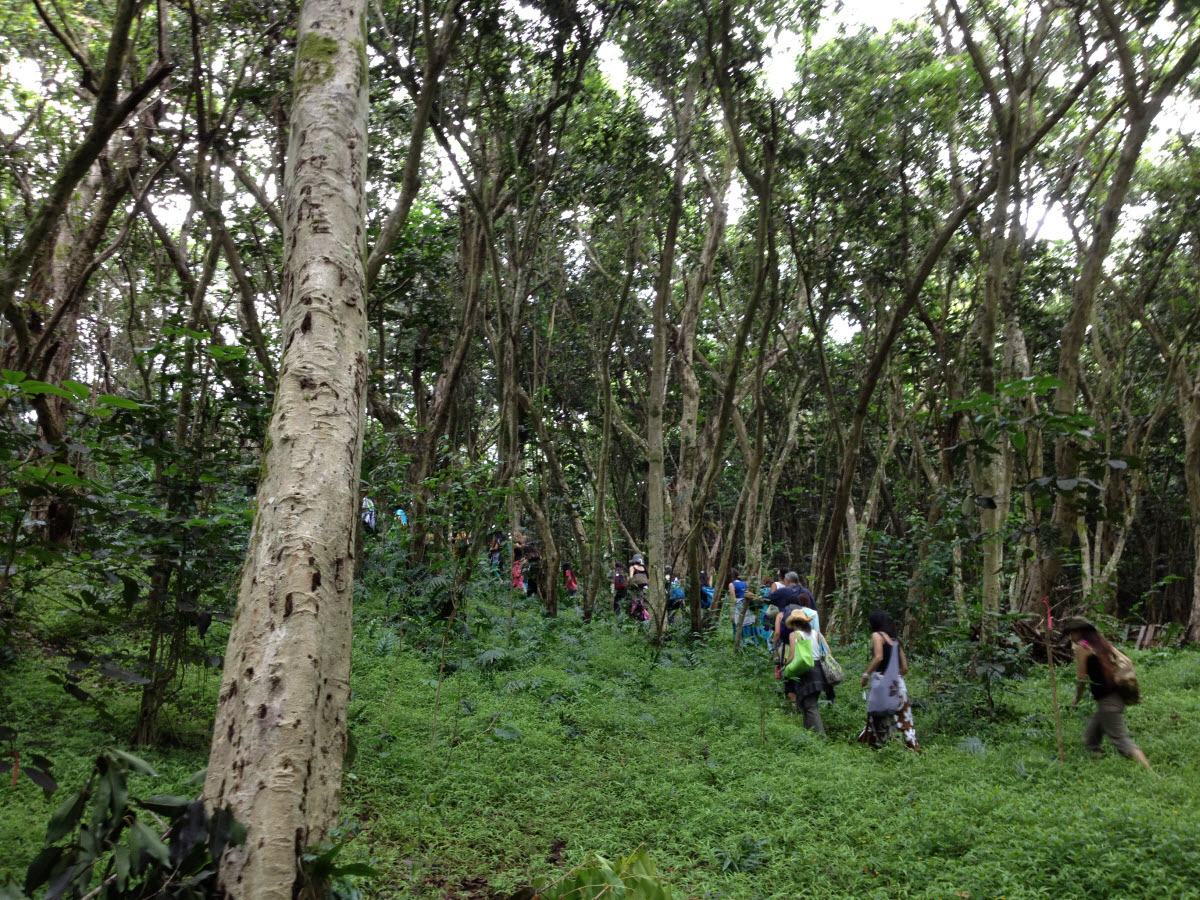
Located almost at 150 km/93 mi from Nairobi City, Mt. Kenya is located just on the south of equator and offers three climbing routes, namely Naro-Moru, Sirimon and Chogoria.
Home > MOUNTAIN SPORTS > Extreme Hiking / Hiking > Woodbuck Basin Trailhead, Angels Camp
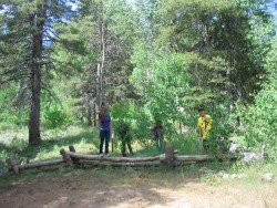
Near Bear Valley, on Highway 4 lies Lake Alpine about 50 mi/80.5 km from Angels Camp. Elevation of the lake is 7300 ft/2225 m. If you visit Lake Alpine, you should definitely go hiking on Woodchuck Basin Trailhead. The trail will take you to the top of a ridge, which divides the Mokelumne and Stanislaus River watersheds.
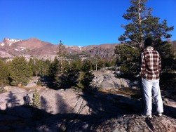
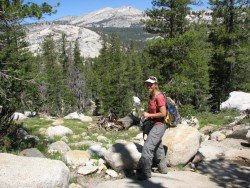
It is approximately a 1.5 – 2 mi/2.4 – 3.2 km hike to Woodchuck Basin, which is located 1 mi/1.6 km east of Lake Alpine on Highway 4. The moment you get out of the forest, you face the amazing view of the Sierra Nevada all the way to Yosemite. Especially in summer the scenery is breathtaking.
Alpine flowers are blooming throughout the summer along the trail. Sit down, eat something and enjoy the magnificent view of the mountains around Lake Tahoe to the north and Yosemite to the south.

Located almost at 150 km/93 mi from Nairobi City, Mt. Kenya is located just on the south of equator and offers three climbing routes, namely Naro-Moru, Sirimon and Chogoria.
Sesriem settlement is situated in the heart of the Namib Desert and at 304 km/189 mi from the Namibian capital city, Windhoek. Sesriem is the access point for the marvelous Naukluft National Park, one of the largest worldwide.
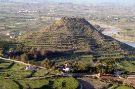
Mojacar is a municipality, located in 90 km/56 mi away from the center, in the southwest of Almeria province. This village lies between Carboneras and Garrucha, bordering the Sierra Cabrena mountains and the Mediterranean sea. The village has been inhabited by Phoenicians, Greeks and Romans throughout the ancient times, leaving as a legacy behind their architecture style. The whole village is build on the top of the hill with white traditional buildings surrounded by a big labyrinth of small narrow streets.
Sonora Pass is located near Pinecrest, Tuolumne County, California, USA. It is off of Highway about 60 mi/96.5 km east of Sonora.
Bear Mountain Ski Resort is located on the San Bernardino Mountain, by the Big Bear Lake, California, USA.
Squaw Valley Ski Resort is located in Olympic Valley, California, USA. It is one of the largest ski areas in the US after Heavenly and was the site of the 1960 Winter Olympics.
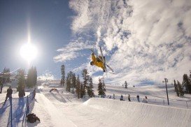
Bear Valley is a ski area located near Angels Camp, on highway 4, between Lake Tahoe and Yosemite, approximately 3 hours southeast of Sacramento, California, USA.
Mount Shasta is located in northern California, east of Interstate 5 along SR89, between Mount Shasta city and McCloud city, California, USA.
Mammoth Lakes is located near Mammoth Mountain, in California’s eastern Sierra about 100 mi/161 km south of Nevada State Line, 9 mi/14.5 km northwest of Mount Morrison, at an elevation of 7880 ft/2402 m, Mono County, California, USA.
Bear Valley is a ski area located near Angels Camp, on highway 4, between Lake Tahoe and Yosemite, approximately 3 hours southeast of Sacramento, California, USA.
Sonora Pass is located near Pinecrest, Tuolumne County, California, USA. It is off of Highway about 60 mi/96.5 km east of Sonora.