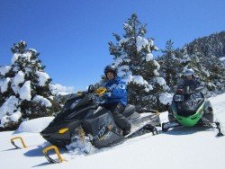
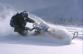
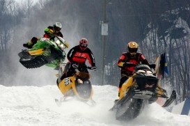
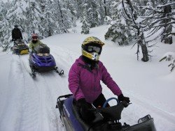
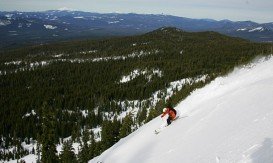
Tuolumne Side of Sonora Pass, Sonora
Sonora Pass is located near Pinecrest, Tuolumne County, California, USA. It is off of Highway about 60 mi/96.5 km east of Sonora.
Home  > MOTOR SPORTS  > Snowmobile  > Mount Bailey, Diamond Lake
The elevation can reach up to 8363 ft/2549 m. It is really worth snowmobiling to the top of the mountain, as you shouldn’t miss the spectacular view of the landscape.
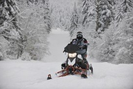
There are snowmobile tracks making it a fun ride, starting from the W Diamond Lake Hwy, continuing into the woods to ascend the Southeast Ridge and then reaching Bailey’s summit. Bare in mind that in winter, the weather conditions on this mountain are unpredictable and an avalanche can easily be produced, so be well informed and prepared even for such an event, before packing your bags.
Surely you can find lodging nearby, but if you want a more primitive experience, maybe you should try Hemlock Butte Ski Cabin, not far from the spot. However you might need to make reservations first.
Sonora Pass is located near Pinecrest, Tuolumne County, California, USA. It is off of Highway about 60 mi/96.5 km east of Sonora.
Wenatchee is the largest city of Chelan County, located in North Central Washington and lies on the west side of the Columbia River. The city is also known as the Apple Capital of the world, due to the valley's apple cultivations.
Angel Fire is an alpine resort in Colfax County, New Mexico, U.S.A. Being the highest peak in New Mexico, Angel Fire is always busy. Visit this all year round ski paradise and perform your favorite summer or winter activity.
Let's make some noise! Take your snowmobile and explore the beautiful paths of Kaimaktsalan. It's a mountain, situated on the borders between Greece and the former Yugoslav Republic of Macedonia. It's the third highest mountain in Greece with an altitude of 2524 m/8278.7 ft. It's also known as Voras and it's located in the regional unit of Pella.
You have to leave your place. It's cold outside, you don't want to go, but you have to. Being on board, the noise of the plane reminds you that there is no way back. Although you fly through clouds, your black thoughts make your moves more difficult. Close your eyes and turn cold into a beautiful landscape with pure snow. Your thoughts are trees that cover your favorite paths and the clouds are your magic snowdust. The beauty of the nature, the harmony, the pure love....stop there. You are not playing in 'the little house on the prairie'.
It's winter!! An endless white silence cover the forests, the trees and the mountains. The birds are hidden in a lea of wild flowers. The wind cloak the twitter of the birds. The snowflakes are playing with the trees, the oaks and the acid. Suddenly, a big noise freezes everything that is moving.
This is a trail extended parallel to North Umpqua River, covering more or less 60 mi/96.56 km in the area.
Mount Ashland is the tallest peak of Siskiyou Mountains, reaching at 7500 ft/2286 m. The spot is a majestic place to visit, if you are a fan of nature and sports.
North Umpqua River is located near Roseburg in southwestern Oregon. It is a tributary of the Umpqua River and it drains a scenic area of the Cascade Range, flowing through steep canyons and surrounded by big Douglas-fir forests.
Central Oregon is a famous play-land to all rock climbers. Smith Rock State Park is located near the cities of Redmond and Terrebonne, in central's Oregon desert.
Elk Lake is a lake located along the Cascade Lakes Scenic Byway, only at eleven miles passing Mount Bachelor in Central Oregon Cascade Mountains.
If you are looking for some adrenaline rush in a well attended track, this is a good place for you. Located in Albany, this Motorsports Park is considered to be one of the best in the area.
McKenzie River is a river in the Cascade Range, in western Oregon.
McKenzie River Trail is located on the west side of the Cascades among a spectacular forest.