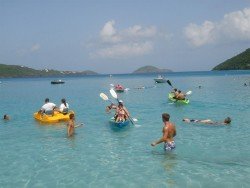
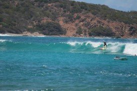
The Virgin Islands of the United States, or the U.S. Virgin Islands lie in the Caribbean Sea, east of Puerto Rico. This group of islands consist of the main islands of Saint Thomas, which is home to the capital city of the U.S. Virgin Islands, Saint John, Saint Croix, Water Island and other surrounding minor islands.The climate here is classified as tropical savanna climate, mostly affected by moderate trade winds.
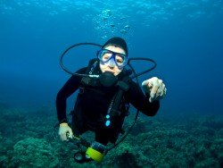
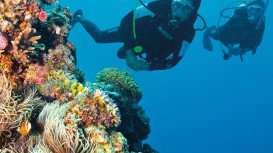
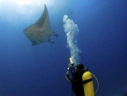
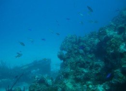
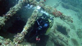
St. Thomas is considered as the mecca for wreck enthusiasts, as it provides many spectacular wreck dive sites. With a fine selection of coral reefs and a wide variety of fish species, this tropical destination attracts divers all year round. The WIT Shoal is one of the premier wreck dive sites in the U.S. Virgin Islands that is situated a few miles southwest of the St. Thomas airport.
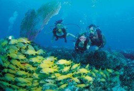
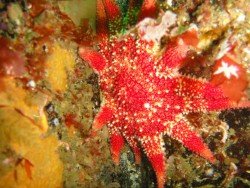
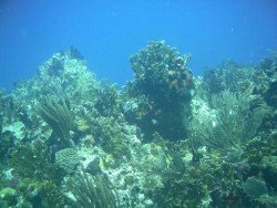
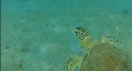
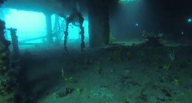
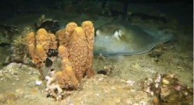
She was originally a transport ship during World War II and was later used as a freighter until she sank in 1984. Five levels and decks are waiting to be explored, including the bow area, the engine room and the galley. The spot is teeming with marine life and divers can come across schools of horse-eye jacks, reef sharks, barracuda, southern stingray, turtles, lobsters and crabs.
The WIT Shoal lies upright in 27.4 m/89.9 ft deep and it accommodates experienced divers. The visibility is generally good and ranges from 10 m/32.8 ft to 30 m/98.4 ft. In addition, the average water temperature varies from 75°F/24°C in winter to 80°F/27°C in summer.
Bear in mind that you should book your dive in advance, as access to the dive site is only by boat. Note: be careful of strong currents. So, if you are a wreck diving fan, let WIT Shoal be the highlight of your vacations!!!