
ADD COMMENT
Whaler Island, Crescent City
/
California USA
Whaler Island is located at the southern end of Crescent City, Del Norte County, California, USA.
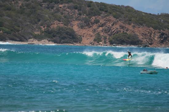
Whether you are looking for relaxation on beautiful and pristine beaches or seeking recreational sports and adventure in the invigorating turquoise waters, St. Thomas will surely satisfy your demands! Hull Bay is located between Caret Bay and Magens Bay, on the Atlantic side of the island. It is considered to be the best surf site on the whole island, especially when there is a north swell.
The swell size starts working at 1-1.5 m/3-5 ft and holds up to 5 m/16 ft. This reef break welcomes experienced surfers only and it is advisable to visit it with someone who is familiar with these waters. The ideal wind direction is from the south, southeast and the ideal tide positions is all tides. In addition, the best period for waves is from November till March. At summer the wind blows offshore 10%, at autumn it blows 25%, at winter 16% and at spring 26%.
Although, it attracts fishermen and surfers from all over the island, it never gets crowded. Keep in mind that most of the surf shops here do not offer gear rentals, so it is better to bring your own board. Apart from watersports, you can also try land activities, such as cycling, a perfect way to explore the historic St.Thomas harbor and discover the hidden beauties of this amazing location. Note: be careful of urchins, rocks and rips/undertow.
Whaler Island is located at the southern end of Crescent City, Del Norte County, California, USA.
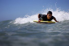
Kahului is located in Maui Island in Hawaii and is the largest city of the Island. It is considered to be a shopping destination because there are several major stores and malls.
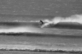
County Cork is situated in the South-West Region of Ireland and it is the largest of all Irish counties. The climate here, like the rest of Ireland, is classified as a maritime climate, usually with cool summers, mild winters and abundant rainfall. Cork enchants visitors with its beautiful landscapes, historic towns and magnificent coastline. In addition, it provides with a number of sporting and leisure activities to perform and remember forever.
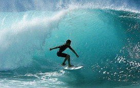
Victoria is the second-smallest state of Australia. It borders with New South Wales to the north and Tasman Sea to the east. The unique combination of spectacular coastline, pristine beaches, numerous national parks, dense forests and mountains attract visitors all year long and offer a plethora of activities to sport lovers.
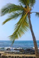
Kailua Kona is located in the North Kona District, Hawaii. It is a lively seaside town with sunny tropical weather all year long and lies at the bottom of the Hualalai Volcano.
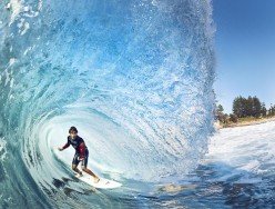
Narrabeen is a suburb in northern Sydney, at about 23 km/14 mi north-east of Sydney's CBD (Central Business District).

The Virgin Islands of the United States, or the U.S. Virgin Islands lie in the Caribbean Sea, east of Puerto Rico. This group of islands consist of the main islands of Saint Thomas, which is home to the capital city of the U.S. Virgin Islands, Saint John, Saint Croix, Water Island and other surrounding minor islands.The climate here is classified as tropical savanna climate, mostly affected by moderate trade winds.

The Virgin Islands of the United States, or the U.S. Virgin Islands lie in the Caribbean Sea, east of Puerto Rico. This group of islands consist of the main islands of Saint Thomas, which is home to the capital city of the U.S. Virgin Islands, Saint John, Saint Croix, Water Island and other surrounding minor islands.The climate here is classified as tropical savanna climate, mostly affected by moderate trade winds.
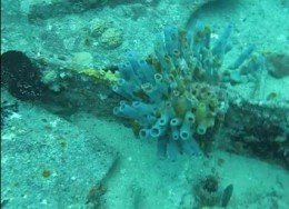
The Virgin Islands of the United States, or the U.S. Virgin Islands lie in the Caribbean Sea, east of Puerto Rico. This group of islands consist of the main islands of Saint Thomas, which is home to the capital city of the U.S. Virgin Islands, Saint John, Saint Croix, Water Island and other surrounding minor islands.The climate here is classified as tropical savanna climate, mostly affected by moderate trade winds.
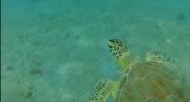
The Virgin Islands of the United States, or the U.S. Virgin Islands lie in the Caribbean Sea, east of Puerto Rico. This group of islands consist of the main islands of Saint Thomas, which is home to the capital city of the U.S. Virgin Islands, Saint John, Saint Croix, Water Island and other surrounding minor islands.The climate here is classified as tropical savanna climate, mostly affected by moderate trade winds.
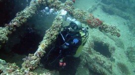
The Virgin Islands of the United States, or the U.S. Virgin Islands lie in the Caribbean Sea, east of Puerto Rico. This group of islands consist of the main islands of Saint Thomas, which is home to the capital city of the U.S. Virgin Islands, Saint John, Saint Croix, Water Island and other surrounding minor islands.The climate here is classified as tropical savanna climate, mostly affected by moderate trade winds.
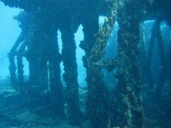
The Virgin Islands of the United States, or the U.S. Virgin Islands lie in the Caribbean Sea, east of Puerto Rico. This group of islands consist of the main islands of Saint Thomas, which is home to the capital city of the U.S. Virgin Islands, Saint John, Saint Croix, Water Island and other surrounding minor islands.The climate here is classified as tropical savanna climate, mostly affected by moderate trade winds.
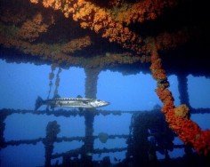
The Virgin Islands of the United States, or the U.S. Virgin Islands lie in the Caribbean Sea, east of Puerto Rico. This group of islands consist of the main islands of Saint Thomas, which is home to the capital city of the U.S. Virgin Islands, Saint John, Saint Croix, Water Island and other surrounding minor islands.The climate here is classified as tropical savanna climate, mostly affected by moderate trade winds.
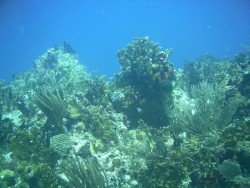
The Virgin Islands of the United States, or the U.S. Virgin Islands lie in the Caribbean Sea, east of Puerto Rico. This group of islands consist of the main islands of Saint Thomas, which is home to the capital city of the U.S. Virgin Islands, Saint John, Saint Croix, Water Island and other surrounding minor islands.The climate here is classified as tropical savanna climate, mostly affected by moderate trade winds.