Rafting in Kiulu River, Kota Kinabalu,
Sabah Malaysia
Distance:
15km/9.3mi
Raoid Grade:
Class I- II
Duration:
1-2 Hrs
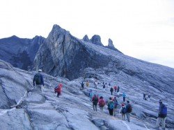
Famous due to its proximity with tropical islands, lush forests and Mount Kinabalu, Kota Kinabalu is the capital of the state of Sabah located in Borneo. It is located on the west coast of Sabah within the West coast Division. Formerly known as Jesselton, it enjoys a tropical rainforest climate and lies by the coast, overlooking at the South China Sea and bordered by the Crocker range which is home to Mount Kinabalu.
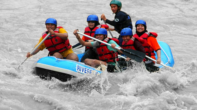
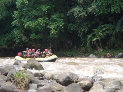
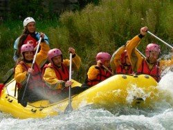
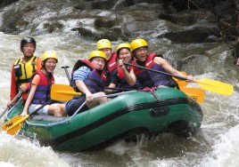
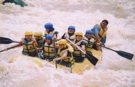
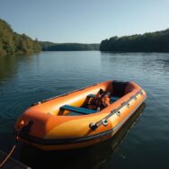
Kiulu River is located at Kampung Pukak Kiulu, an about 1 hour’s drive from Kota Kinabalu. The river offers an amazing escape with white water rafting reasonably adventurous as well as relaxing. Enjoy the bamboo filled Kiulu River while paddling some 15 km/9.3 mi long which in fact is considered the longest white water rafting trip in Borneo.
The rapids here are graded between Class 1-2 allowing for a more relaxed and enjoyable rafting experience. The paddling trip lasts between 1-2 hours and there is normally a safety briefing session before commencing the trip. Paddlers need to be of reasonable fitness and children need to be above 5 years of age. Advance booking is necessary and the minimum pax is 2.
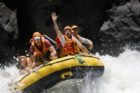
Limpopo is the northernmost province of South Africa and named after the second biggest river in Africa, River Limpopo. It borders with Botswana to the West, Zimbabwe to the North and Mozambique to the East. Characterized by primeval indigenous forests, majestic mountains and unspoilt natural setting, it is an adventure seeker's haven.
Java is the 5th largest island in Indonesia and the world's most populous as well. It acts as Indonesia's center of cultural and economic activity. Java is divided into four provinces, West Java, East Java, Central Java and Banted plus two additional special regions, Jakarta and Yogyakarta. Java is almost entirely of volcanic origin and lies between Sumatra to the west and Bali to the east.
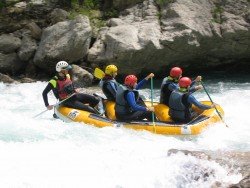
It goes without saying that rafting on the Noce River, during the summer season (from May to September) implies you are in the right place on the right time for unforgettable moments full of emotions. Descending the rivers of Dolomite area can be a real explosion of adrenaline. The safety rules are very specific and practitioners are invited to abide by at any moment.
Bali is a province in Indonesia with a few neighboring islands including the Isle of Bali. The island of Bali lies at about 8 degrees/ 0.13 radians on the south of equator and at 3.2 km/1.9 mi from Java. It is surrounded by coral reefs with white sand beaches on the south and black sand beaches on the north and the west of the island.
The Gorges du Verdon, located in south-eastern France (Alpes-de-Haute-Provence), is a river canyon, considered to be one of the most beautiful in Europe. It is about 25 km/16 mi long and up to 700 m/2296 ft deep, formed by the Verdon River and named after for its startling turquoise-green color.
Famous for its proximity with the tropical islands, lush forests and Mount Kinabalu, Kota Kinabalu is the capital of the state of Sabah located in Borneo. It is located on the west coast of Sabah within the West coast Division. Formerly known as Jesselton, it enjoys a tropical rainforest climate and lies by the coast overlooking the South China Sea and bordered by the Crocker range which is home to Mount Kinabalu.
Famous for its proximity with tropical islands, lush forests and Mount Kinabalu, Kota Kinabalu is the capital of the state of Sabah located in Borneo. It is located on the west coast of Sabah within the West coast Division. Formerly known as Jesselton, it enjoys a tropical rainforest climate and lies by the coast, overlooking at the South China Sea and bordered by the Crocker range which is home to Mount Kinabalu.
Famous for its proximity with the tropical islands, lush forests and Mount Kinabalu, Kota Kinabalu is the capital of the state of Sabah located in Borneo. It is located on the west coast of Sabah within the West coast Division. Formerly known as Jesselton, it enjoys a tropical rainforest climate and lies by the coast overlooking the South China Sea and bordered by the Crocker range which is home to Mount Kinabalu.
Famous due to its proximity with tropical islands, lush forests and Mount Kinabalu, Kota Kinabalu is the capital of the state of Sabah located in Borneo. It is located on the west coast of Sabah within the West coast Division. Formerly known as Jesselton, it enjoys a tropical rainforest climate and lies by the coast, overlooking the South China Sea and bordered by the Crocker range which is home to Mount Kinabalu.
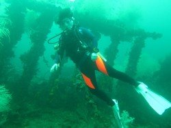
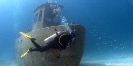
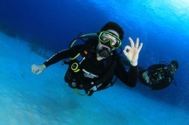
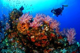
Pulau Tiga is located at 48 km/30 mi in the south of Kota Kinabalu and became well known due to the "Survivor" series, hosting the setting of "Survivor Borneo", the first American season of the show. Scuba diving in Pulau Tiga is open to all levels of divers and is a prime location for macro lovers and underwater photography. The spot is believed to have been formed by the eruption of several mud volcanoes and is at 100 m/328 ft above sea level.
Pulau Tiga is located at 48 km/29.9 mi in the south of Kota Kinabalu and became well known due to the "Survivor" series, hosting the setting of "Survivor Borneo", the first American season of the show. Scuba diving in Pulau Tiga is open to all levels of divers and is a prime location for macro lovers and underwater photography. The spot is believed to have been formed by the eruption of several mud volcanoes and is at 100 m/328 ft above sea level.
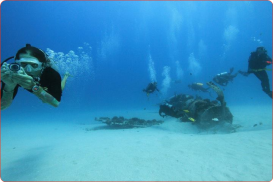
Pulau Tiga is located at 48 km/30 mi in the south of Kota Kinabalu and became well known due to the "Survivor" series, hosting the setting of "Survivor Borneo", the first American season of the show. Scuba diving in Pulau Tiga is open to all levels of divers and is a prime location for macro lovers and underwater photography. The spot is believed to have been formed by the eruption of several mud volcanoes and is at 100 m/328 ft above sea level.
Famous due to its proximity with tropical islands, lush forests and Mount Kinabalu, Kota Kinabalu is the capital of the state of Sabah located in Borneo. It is located on the west coast of Sabah within the West coast Division. Formerly known as Jesselton, it enjoys a tropical rainforest climate and lies by the coast, overlooking at the South China Sea and bordered by the Crocker range which is home to Mount Kinabalu.