Pinecrest Lake, Sonora
Sonora Pass is located near Pinecrest, Tuolumne County, California, USA. It is off of Highway about 60 mi/96.5 km east of Sonora.
Home > OTHER SPORTS > Bicycling / Cycling > Sonora Pass, Sonora
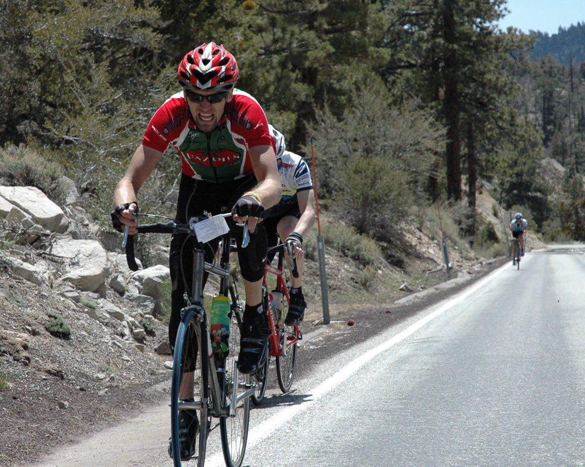
One popular sport at Pinecrest Lake is cycling. In summer there is a little shopping area, available for bicycle rentals. If you are in the level of an experienced cyclist, you should consider the road up to Dodge Ridge, which has little traffic in summer. The road is 3.5 mi/5.6 km long, climbs 1000 ft/304.8 m and makes a strenuous ascent.
During the ride you should be careful of several sharp curves. If you are a serious cyclist, you should consider the road over Sonora Pass. The grade reaches about 27% in many places. The most common start is in the Dardanelles area, from where you can depart early in the morning and push off for the pass with plenty of water and nourishment supplies.
You can warm your body at the first 5, level miles. In the next mile the road climbs at 1000 ft/304.8 m elevation. The top of Sonora Pass from Dardanelles is 14.5 miles/23.3 km and has an exhausting 4000 ft/1219 m total gain in elevation. There are many blind turns in this narrow road, making safety an important consideration.
You can continue over Sonora Pass, that has a drop of 3000 ft/914.4 m in 11 mi/17.7 km to Pickel Meadow and then turn around and go back the way you came. Another option is to carry on going all the way out to Highway 395 at Sonora Junction, making it approximately over 30 mi/48.2 km from Dardanelle.

Sonora Pass is located near Pinecrest, Tuolumne County, California, USA. It is off of Highway about 60 mi/96.5 km east of Sonora.
Mammoth Lakes is located near Mammoth Mountain, in California’s eastern Sierra about 100 mi/161 km south of Nevada State Line, 9 mi/14.5 km northwest of Mount Morrison, at an elevation of 7880 ft/2402 m, Mono County, California, USA.
Great Arber (Großer Arber) is the highest peak of the Bohemian – Bavarian mountain ridge and reaches at an elevation of 1456 m/4777 ft height. The spot lies at 197 km/122 mi in the northeast of Munich. Geographically, it belongs to Bohemian Forest, so you might notice that people refer to it as ‘King of the Bavarian Forest’.
Te Anau is a small town, situated in Fiordland region, in the South Island of New Zealand.
Mont-Tremblant National Park is a provincial park that covers 1510 m²/16254 ft², located north of Mont Tremblant, Quebec and the villages of Saint-Donat and Saint-Come. It is the second largest Park in Quebec after Kuururjuaq National Park. This park is well know for its natural beauty offering plenty of rest, fun and adventure to visitors.
On the northeast of beautiful Mount Hood lies the ski area of Cooper Spur.
Dodge Ridge ski resort is located near Pinecrest, Tuolumne County, California, USA. It is off of Highway about 50 mi/80.5 km east of Sonora.
Yosemite National Park is located near Mariposa, California, USA.
South Lake Tahoe is located on the California–Nevada border, El Dorado County, California, USA.
Sonora Pass is located near Pinecrest, Tuolumne County, California, USA. It is off of Highway about 60 mi/96.5 km east of Sonora.
Bear Valley is a ski area located near Angels Camp, on highway 4, between Lake Tahoe and Yosemite, approximately 3 hours southeast of Sacramento, California, USA.
Mammoth Lakes is located near Mammoth Mountain, in California’s eastern Sierra about 100 mi/161 km south of Nevada State Line, 9 mi/14.5 km northwest of Mount Morrison, at an elevation of 7880 ft/2402 m, Mono County, California, USA.
Mammoth Mountain is located in California’s eastern Sierra, at 100 mi/161 km south of Nevada State line and 50 minutes from the Eastern Gate of Yosemite National Park.