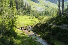
Shirley Meadows is located in Wofford Heights, on the Greenhorn Mountain, at about 60 mi/96.6 km northeast from Bakersfield, California, USA.
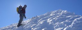
There is a great trail for mountain climbing near Wofford Heights, offering pure fun and cool scenery. The trail is named Shirley Meadows Shebang and you can climb up to Shirley Peak. It has parts for the inexperienced climbers, as well as for the expert ones.
Climbers that are intermediate and advanced will have a blast. Access to the trail is made by riding it up or by car. But you can also climb to the trail! The pavement is smooth, promising to give you a good time and a good exercise. Main climbing is fire-road. The general area is hot and dry, but this trail seems more cool and refreshing, maybe because it has an invigorating whoosh of a descent. Length of the trail is 25.7 mi/41.4 km.
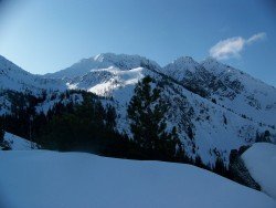
Elevation gain is at 4250 ft/1295 m, trail-head elevation at 2650 ft/807.7 m and top elevation at 6600 ft/2012 m. It is highly recommended, before you start to climb, to look for detailed information on the Shirley Peak area, in the topographic map and and the Alta Sierra USGS quad.