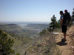
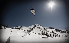
Sonora Pass is located near Pinecrest, Tuolumne County, California, USA. It is off of Highway about 60 mi/96.5 km east of Sonora.
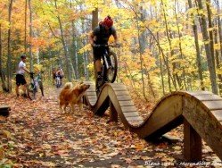
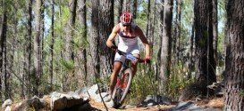
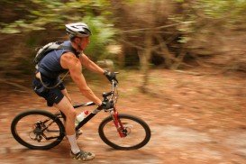
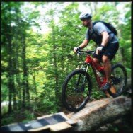
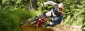
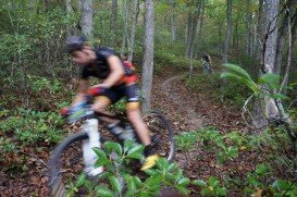
A popular sport at Sonora Pass is mountain biking. There are many mountain biking trails along the Sonora Pass highway. You will find everything you need from gentle, railroad grades to steep, single tracks. There are great logging roads, perfect to explore.
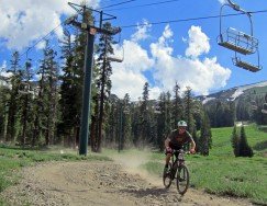
Purchase a map of Stanislaus National Forest at the ranger station in MiWuk or Pinecrest and also a map of Toiyabe National Forest at the Bridgeport ranger station. One of the most well known trails is Sugarpine Railroad Trail. It is a one way, 2.8 mi/4.5 km, moderate trail with an elevation gain of 500 ft/152.4 m.
This trail follows the old Sugar Pine Railroad, that was used to deliver timber to sawmills from remote areas of the forest. Its gentle grade nowadays makes it an excellent mountain biking trail. The beginning is at the Fraser Flat Road trailhead and the trail heads about 2.5 mi/4 km down to the river.
Then follow it upstream on the south side of the river. It goes about 2.8 mi/4.5 km up to the connection with Old Strawberry road. After that it is another 1.5 mi/2.4 km further on the road to reach Strawberry Store, where you can buy an ice cream or snack, before turning back.