
Kapilau Ridge Trail, Kahului
Kahului is located in Maui Island on Hawaii and is the largest city of the Island. It is considered to be a shopping destination because there are several major stores and malls.
Home > MOUNTAIN SPORTS > Extreme Hiking / Hiking > Yosemite National Park
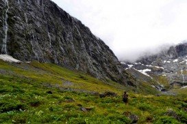
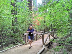
One of the world’s most spectacular scenery for exploring and hiking is in Yosemite National Park.The mild weather, the breathtaking landscapes and the over 1000 mi/1609.3 km of trails available, makes it a hiker’s oasis. You can enjoy hiking in many ways.
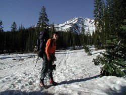
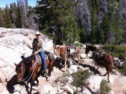
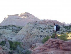
The park offers half day hikes and full day hikes with experienced guides. On half day hikes enjoy an easy and pleasant hike on Valley Floor Loop Trail, which gives you the opportunity to hike through some of the most known spots in Yosemite’s Valley, but through less traveled paths. If you prefer a full day hike, enjoy a moderate 10 mi/16 km hike on the steep descent trail of Sentinel Dome to Yosemite Valley and follow the south rim of the valley, making stops to some breathtaking landscapes like Sentinel Dome, Union Point, Taft Point and Glacier Point.
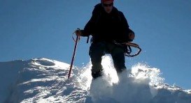
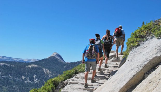
The park also offers extreme day hikes. Half Dome is one of the most popular trails for extreme hiking. It is a one of a kind hiking experience to the iconic Half Dome. It is only offered by reservation, so if you want to follow that trail, make sure to be fully prepared and make a reservation beforehand. It is a strenuous 16 mi/25.8 km hike, which gains 4800 ft/1463 m from the trail-head to summit.
It includes the sometimes intimidating Half Dome Cables. You need a permit in order to hike that trail. The permits are available only online, but Yosemite Mountaineering School has a few for last minute guided hikes.
Kahului is located in Maui Island on Hawaii and is the largest city of the Island. It is considered to be a shopping destination because there are several major stores and malls.
Sonora Pass is located near Pinecrest, Tuolumne County, California, USA. It is off of Highway about 60 mi/96.5 km east of Sonora.
Bear Valley is a ski area located near Angels Camp, on highway 4, between Lake Tahoe and Yosemite, approximately 3 hours southeast of Sacramento, California, USA.
Wenatchee is the largest city of Chelan County, located in North Central Washington and lies on the west side of the Columbia River. The city is also known as the Apple Capital of the world, due to the valley's apple cultivations.
Volcano National park is located at 30 mi/48 km in the southwest of Hilo Town in Hawaii. The park was established in 1916 and is a combination of unique ecosystems and diverse environments that range from the sea to the summit of the world's biggest volcano, Mauna Loa, as well as Kilauea witch is the world's most active volcano.
Sonora Pass is located near Pinecrest, Tuolumne County, California, USA. It is off of Highway about 60 mi/96.5 km east of Sonora.
Mount Shasta is located in northern California, east of Interstate 5 along SR89, between Mount Shasta city and McCloud city, California, USA.
Bear Valley is a ski area located near Angels Camp, on highway 4 between Lake Tahoe and Yosemite approximately 3 hours southeast of Sacramento, California, USA.
Tamarack Lodge Resort is located in Mammoth Lakes, near Mammoth Mountain, in California’s eastern Sierra about 100 mi/161 km south of Nevada State line Mono County, California, USA.
Bear Valley is a ski area located near Angels Camp, on highway 4, between Lake Tahoe and Yosemite, approximately 3 hours southeast of Sacramento, California, USA.
Sonora Pass is located near Pinecrest, Tuolumne County, California, USA. It is off of Highway about 60 mi/96.5 km east of Sonora.
Bear Valley is a ski area located near Angels Camp, on highway 4, between Lake Tahoe and Yosemite, approximately 3 hours southeast of Sacramento, California, USA.
Sonora Pass is located near Pinecrest, Tuolumne County, California, USA. It is off of Highway about 60 mi/96.5 km east of Sonora.