Ebbetts Pass, Angels Camp
Bear Valley is a ski area located near Angels Camp, on highway 4, between Lake Tahoe and Yosemite, approximately 3 hours southeast of Sacramento, California, USA.
Home > MOUNTAIN SPORTS > Extreme Hiking / Hiking > Arnold Rim Trail, Angels Camp
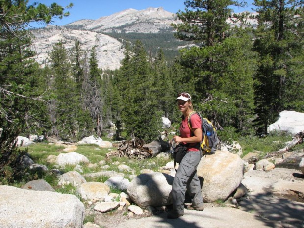
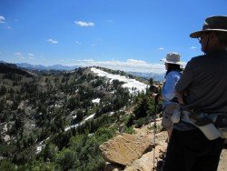
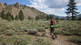
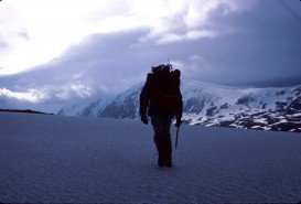
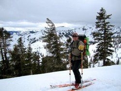
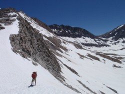
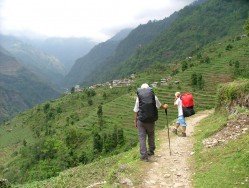
Near Bear Valley lies Ebbetts Pass, which is perfect for hiking. Day hikes can vary from unstrained, quarter mile rides to full day excursions on strenuous mountain peaks. One of the best hikes is at the Arnold Rim Trail. It is a 10.5 mi/16.9 km, one way trail. It has elevation changes of several hundred feet.
The trail runs at the moment from White Pines Lake, west of Sheep Ranch Road, near Avery. You can also hike out of the trail as far as you want and then head back. The Arnold Rim Trail follows San Antonio Creek, intersected on the north side to the south, approximately 2.5 mi/4 km south of White Pines Lake.
While hiking the path, you can enjoy the landscapes of Cougar Rock, San Antonio Falls and Penny Pines. Arnold Rim Trail Association has many volunteers and with the collaboration of other community volunteers created the trail. The entire trail is marked.
Bear Valley is a ski area located near Angels Camp, on highway 4, between Lake Tahoe and Yosemite, approximately 3 hours southeast of Sacramento, California, USA.
Amathole is an area with stunning scenic beauty and rich in history. Located in the Eastern Cape, it has diverse landscapes ranging from mountains, rivers, beaches, forests and estuaries. Hidden gems include the majestic rainforest, which is protected to date. Indigenous forest and breathtaking waterfalls are a must see in this region.
Wenatchee is the largest city of Chelan County, located in North Central Washington and lies on the west side of the Columbia River. The city is also known as the Apple Capital of the world, due to the valley's apple cultivations.
Mt. Longonot is located in the South East of Lake Naivasha and at about 90 km/60 mi from Nairobi City. It stands at 2886 m/9468 ft with dormant volcanoes dominating the landscape. Mt. Longonot is lined with spectacular fissures and lava canyons. It is a strato-volcano with fairly steep slopes covered with volcanic ash.
Torres del Paine is located in Southern Patagonia and is one of the numerous spectacular national parks in Chile. It was created in 1959 and UNESCO has listed the location as a Biosphere Reserve since 1978. This place is a wonder land for hikers from all over the world.
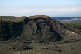
Volcano National park is located at 30 mi/48 km in the southwest of Hilo Town in Hawaii. The park was established in 1916 and is a combination of unique ecosystems and diverse environments that range from the sea to the summit of the world's biggest volcano, Mauna Loa, as well as Kilauea witch is the world's most active volcano.
Mount Shasta is located in northern California, east of Interstate 5 along SR89, between Mount Shasta city and McCloud city, California, USA.
Bear Valley is a ski area located near Angels Camp, on highway 4, between Lake Tahoe and Yosemite, approximately 3 hours southeast of Sacramento, California, USA.
Mammoth Lakes is located near Mammoth Mountain, in California’s eastern Sierra about 100 mi/161 km south of Nevada State Line, 9 mi/14.5 km northwest of Mount Morrison, at an elevation of 7880 ft/2402 m, Mono County, California, USA.
Donner Ski Ranch is a resort located on Donner Summit in the Tahoe National Forest, Nevada County, California, USA. The area has been used for skiing since 1939.
Bear Valley is a ski area located near Angels Camp, on highway 4, between Lake Tahoe and Yosemite, approximately 3 hours southeast of Sacramento, California, USA.
Tamarack Lodge Resort is located in Mammoth Lakes, near Mammoth Mountain, in California’s eastern Sierra about 100 mi/161 km south of Nevada State line Mono County, California, USA.
Sonora Pass is located near Pinecrest, Tuolumne County, California, USA. It is off of Highway about 60 mi/96.5 km east of Sonora.
Yosemite National Park is located near Mariposa, California, USA.