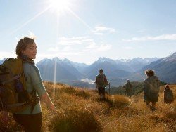
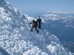
Monte Baldo, Garda Lake
In the surroundings of Lake Garda, several types of trekking or/and Nordic walking can be practiced easily in a very pleasant and relaxed way.
Home > MOUNTAIN SPORTS > Backpacking / Trekking > Pacific Crest Trail, Angels Camp
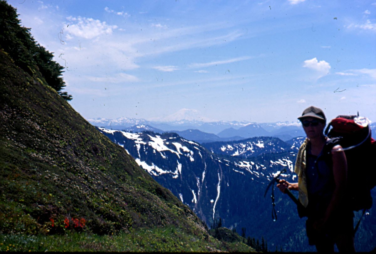
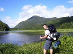
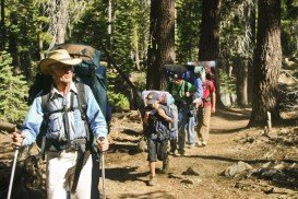
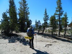
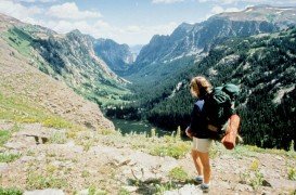
Near Bear Valley lies Ebbetts Pass, which is perfect for backpacking. Day rides can vary from unstrained, quarter mile rides to full day excursions on strenuous mountain peaks. One of the best rides at Ebbetts Pass is Pacific Crest Trail. There are two trail paths.
The first one is south of Noble Lake, which is a 3.5 mi/5.6 km, one way mountain trail with 500 ft/152.4 m descent elevation, changeable and 500 ft/152.4 m climb. The trailhead is at the parking lot. The trail drops down to 500 ft/152.4 m at Noble Creek and then gains back its elevation on its way up to Noble Lake.
The second trail is north of Reynolds Peak. It is a 4 mi/6.4 km, one way mountain trail with 100 ft/30.5 m up and down elevation. The trailhead is along the Highway, east of Ebbetts Pass summit. While wandering, you will pass the Kinney Lakes, where you can camp if you want. Don’t miss walking next to the rugged volcanic slopes of Raymond and Reynolds Peaks.

In the surroundings of Lake Garda, several types of trekking or/and Nordic walking can be practiced easily in a very pleasant and relaxed way.
Bear Valley is a ski area located near Angels Camp, on highway 4, between Lake Tahoe and Yosemite, approximately 3 hours southeast of Sacramento, California, USA.
Queenstown is considered by many sportsmen as the capital of extreme sports and adventure activities. It is situated in Otago region, in the South Island, New Zealand.
Sonora Pass is located near Pinecrest, Tuolumne County, California, USA. It is off of Highway about 60 mi/96.5 km east of Sonora.
Mammoth Lakes is located near Mammoth Mountain, in California’s eastern Sierra about 100 mi/161 km south of Nevada State Line, 9 mi/14.5 km northwest of Mount Morrison, at an elevation of 7880 ft/2402 m, Mono County, California, USA.
Bear Valley is a ski area located near Angels Camp, on highway 4, between Lake Tahoe and Yosemite, approximately 3 hours southeast of Sacramento, California, USA.
Sugar Bowl ski resort is a ski area in northern Placer County, near Norden, along Donner Pass of Sierra Nevada, at about 46 mi/74 km from Reno on Interstate 80, California, USA. The resort was opened on the 15th of December 1939.
Mammoth Lakes is located near Mammoth Mountain, in California’s eastern Sierra about 100 mi/161 km south of Nevada State Line, 9 mi/14.5 km northwest of Mount Morrison, at an elevation of 7880 ft/2402 m, Mono County, California, USA.
Bear Valley is a ski area located near Angels Camp, on highway 4, between Lake Tahoe and Yosemite, approximately 3 hours southeast of Sacramento, California, USA.
Sonora Pass is located near Pinecrest, Tuolumne County, California, USA. It is off of Highway about 60 mi/96.5 km east of Sonora.
Mount Shasta is located in northern California, east of Interstate 5 along SR89, between Mount Shasta city and McCloud city, California, USA.