Sisson Callahan National Recreational Trail, Redding
Mount Shasta is located in northern California, east of Interstate 5 along SR89, between Mount Shasta city and McCloud city, California, USA.
Home > MOUNTAIN SPORTS > Extreme Hiking / Hiking > Boulder Creek, Sonora
Hiking trails are spread everywhere across the mountains. There is something for everyone in the Sonora Pass region, as there are all kind of trails, easy, intermediate and high elevation and also long day adventures. One of the best trails to hike is Iceberg Meadow to Boulder Creek.
It is a 2.5 mi/4 km, moderate trail with elevation gain of 500 ft/152.4 m. It is a shaded, forest hike, taking you from Iceberg Meadow up the Clark Fork. It is a kind of easy hike, having only a moderate elevation gain. In the biggest part of the hike you are near the Clark Fork, giving you the opportunity to stop and fish.
Watch out for hawks, nesting in the trees. After walking 2.5 mi/4 km of the hike, you get close the junction to Boulder Creek trail. Boulder Lake is up the trail about 1.5 mi/2.4 km, but is a steep 1200 ft/365.8 m climb and the trail is not so good maintained. While continuing for about 7.5 mi/12 km up the Clark Fork Trail, you reach the top of Saint Marie’s Pass.

Mount Shasta is located in northern California, east of Interstate 5 along SR89, between Mount Shasta city and McCloud city, California, USA.
Honokaa town is located in the Hamakua Coast, at 40 mi/64 km in the north of Hilo. The area is a historic district of Big Island in Hawaii because the town's economy was once based on sugar production from the Hamakua Sugar Company, until 1994.
Wenatchee is the largest city of Chelan County, located in North Central Washington and lies on the west side of the Columbia River. The city is also known as the Apple Capital of the world, due to the valley's apple cultivations.
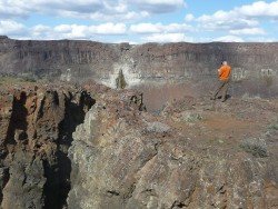
Wenatchee is the largest city of Chelan County, located in North Central Washington and lies on the west side of the Columbia River. The city is also known as the Apple Capital of the world, due to the valley's apple cultivations.
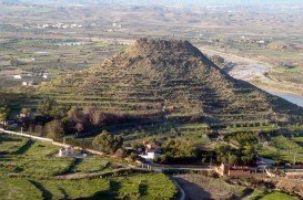
Mojacar is a municipality, located in 90 km/56 mi away from the center, in the southwest of Almeria province. This village lies between Carboneras and Garrucha, bordering the Sierra Cabrena mountains and the Mediterranean sea. The village has been inhabited by Phoenicians, Greeks and Romans throughout the ancient times, leaving as a legacy behind their architecture style. The whole village is build on the top of the hill with white traditional buildings surrounded by a big labyrinth of small narrow streets.
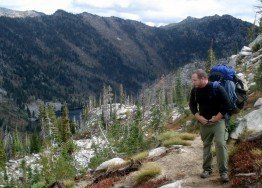
Bear Valley is a ski area located near Angels Camp, on highway 4, between Lake Tahoe and Yosemite, approximately 3 hours southeast of Sacramento, California, USA.
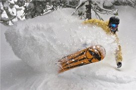
Squaw Valley Ski Resort is located in Olympic Valley, California, USA. It is one of the largest ski areas in the US after Heavenly and was the site of the 1960 Winter Olympics.
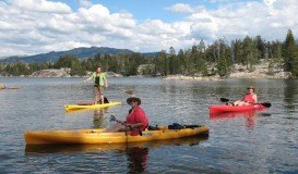
Bear Valley is a ski area located near Angels Camp, on highway 4, between Lake Tahoe and Yosemite, approximately 3 hours southeast of Sacramento, California, USA.
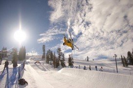
Boreal Mountain Ski Resort is a ski area located in Soda Springs, near Lake Tahoe, California, USA. Nearest city is Truckee and the resort is on Highway 80, in the west of the city.
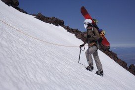
Mount Shasta is located in northern California, east of Interstate 5 along SR89, between Mount Shasta city and McCloud city, California, USA.
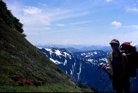
Bear Valley is a ski area located near Angels Camp, on highway 4, between Lake Tahoe and Yosemite, approximately 3 hours southeast of Sacramento, California, USA.
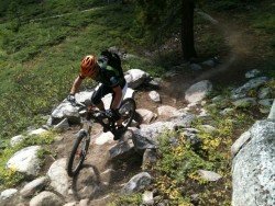
South Lake Tahoe is located on the California–Nevada border, El Dorado County, California, USA.

Mammoth Lakes is located near Mammoth Mountain, in California’s eastern Sierra about 100 mi/161 km south of Nevada State Line, 9 mi/14.5 km northwest of Mount Morrison, at an elevation of 7880 ft/2402 m, Mono County, California, USA.
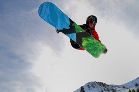
Mammoth Mountain is located in California’s eastern Sierra, at 100 mi/161 km south of Nevada State line and 50 minutes from the Eastern Gate of Yosemite National Park.

