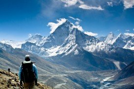
Everest Base Camp, Khumbu
Ama Dablam Mountain is a mountain situated in the Himalaya range of eastern Nepal. Its name means Mother’s necklace and it is the third most popular Himalayan summit for permitted expeditions.
Home > MOUNTAIN SPORTS > Backpacking / Trekking > Boulder Creek, Sonora
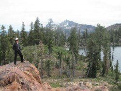
Trails are spread everywhere across the mountains. There is something for everyone in the Sonora Pass region, as there are all kind of trails, easy, intermediate and high elevation and also long day adventures. One of the best trails to go backpacking is Iceberg Meadow to Boulder Creek.
It is a 2.5 mi/4 km, moderate trail with elevation gain of 500 ft/152.4 m. It is a shaded, forest ride, taking you from Iceberg Meadow up the Clark Fork. It is a kind of easy trail, having only a moderate elevation gain. In the biggest part of the trail you are near the Clark Fork, giving you the opportunity to stop and fish.
Watch out for hawks, nesting in the trees. After walking 2.5 mi/4 km of the trail, you get close the junction to Boulder Creek trail. Boulder Lake is up the trail about 1.5 mi/2.4 km, but is a steep 1200 ft/365.8 m climb and the trail is not so good maintained.
While continuing for about 7.5 mi/12 km up the Clark Fork Trail, you reach the top of Saint Marie’s Pass. A good place to camp is near the Meadow.

Ama Dablam Mountain is a mountain situated in the Himalaya range of eastern Nepal. Its name means Mother’s necklace and it is the third most popular Himalayan summit for permitted expeditions.
Leonidio lies in east coast of Peloponnese. Capital city of ''Tsakonia'' region, Leonidio maintains and preserves Tsakonian cultural tradition. The highlands and the plateau of Parnon Massif, which surround the area, represent an excellent spot for trekkers and hikers.
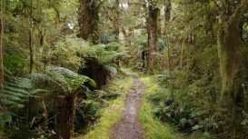
Te Anau is a small town, situated in Fiordland region, in the South Island of New Zealand.
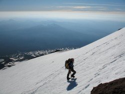
Mount Shasta is located in northern California, east of Interstate 5 along SR89, between Mount Shasta city and McCloud city, California, USA.
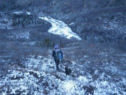
Mount Shasta is located in northern California, east of Interstate 5 along SR89, between Mount Shasta city and McCloud city, California, USA.
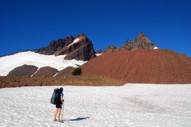
Sonora Pass is located near Pinecrest, Tuolumne County, California, USA. It is off of Highway about 60 mi/96.5 km east of Sonora.
Bear Valley is a ski area located near Angels Camp, on highway 4, between Lake Tahoe and Yosemite, approximately 3 hours southeast of Sacramento, California, USA.
Mount Shasta is located in northern California, east of Interstate 5 along SR89, between Mount Shasta city and McCloud city, California, USA.
Bear Valley is a ski area located near Angels Camp, on highway 4, between Lake Tahoe and Yosemite, approximately 3 hours southeast of Sacramento, California, USA.
Bear Valley is a ski area located near Angels Camp, on highway 4, between Lake Tahoe and Yosemite, approximately 3 hours southeast of Sacramento, California, USA.

Sonora Pass is located near Pinecrest, Tuolumne County, California, USA. It is off of Highway about 60 mi/96.5 km east of Sonora.
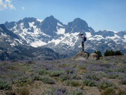
Mammoth Lakes is located near Mammoth Mountain, in California’s eastern Sierra about 100 mi/161 km south of Nevada State Line, 9 mi/14.5 km northwest of Mount Morrison, at an elevation of 7880 ft/2402 m, Mono County, California, USA.
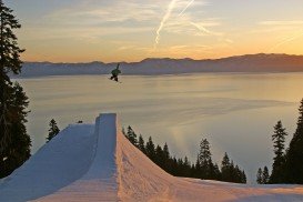
Homewood Mountain Ski Resort is located a few miles south of Tahoe City near Homewood, in the west side of Lake Tahoe, California, USA.
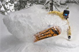
Squaw Valley Ski Resort is located in Olympic Valley, California, USA. It is one of the largest ski areas in the US after Heavenly and was the site of the 1960 Winter Olympics.

