Gordons Bay, Clovelly
Clovelly is a beach-side suburb of Sydney, at about 8 km/4 mi in the south-east of Sydney's CBD (Central Business District).
Home > WATER SPORTS > Snorkeling > Magens Bay, Saint Thomas
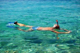
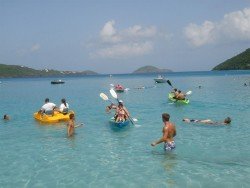
Magens Bay is without a doubt the most picturesque and at the same time the most popular beach of the island. It lies on the north side of Saint Thomas and it is protected by two peninsulas. With soft, white sand and calm, turquoise waters, Magens Bay is a favorite location for families and watersport enthusiasts.
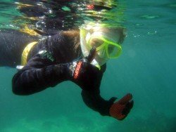
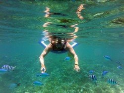
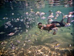
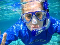
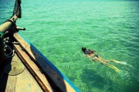
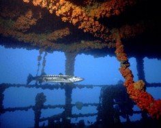
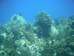
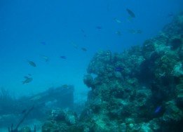
Besides being fantastic for swimming, it is also great for snorkeling, especially in the western end of the beach. The average depth here is 6 m/19.7 ft and the maximum is 8 m/26.2 ft. The average water temperature varies from 75°F/24°C in winter to 80°F/27°C in summer, offering excellent diving conditions all year round. In addition, the spot welcomes divers and snorkelers of all experience levels. Visibility is medium, as it varies from 5 m/16.4 ft to 10 m/32.8 ft.
Magens Bay provides a wide range of facilities, including dressing rooms, showers and gear rentals. Last but not least, there is an entry fee, in order to maintain the facilities. So, if you are a snorkeling lover, Magens Bay is the place to be!!!
Clovelly is a beach-side suburb of Sydney, at about 8 km/4 mi in the south-east of Sydney's CBD (Central Business District).
Roquetas de Mar is a municipality, located in the west of Almeria province. It lies among La Mojonera, Vicar and Enix. Roquetas de Mar is one of the most popular towns of Almeria, with direct coastal access to the Mediterranean Sea.
Ilha Grande is the biggest and most well known island of the Green Bay at about 150 km/93 mi in the west-side of the State of Rio de Janeiro. Rio de Janeiro, commonly known as Rio, is the capital city of the Rio de Janeiro State, the second largest city of Brazil and the third largest metropolitan area in South America. Since July 2012, part of the city has been designated by UNESCO as a World Heritage Site in the category of ''cultural landscape''.
Kailua Kona is located in the North Kona District, Hawaii. It is a lively seaside town with sunny tropical weather all year long and lies at the bottom of the Hualalai Volcano.
Having earned itself the name "Maldives" of Kenya, Galu beach is situated at 5 km/3 mi away from Diani Beach. It is calmer than the busy Diani Beach and boasts an indigenous flora. The white sandy beach incorporated with the clear turquoise waters offers a perfect choice for an amazing beach holiday.
The Kangaroo Island covers an area of approximately 4400 km²/1698.8 mi², located at 110 km/70 mi south-west of Adelaide and easily accessible by ferry or plane. A congregation of attractive small towns and fascinating wild Conservation parks, Kangaroo Island represents Australia's third largest Island.
The Virgin Islands of the United States, or the U.S. Virgin Islands lie in the Caribbean Sea, east of Puerto Rico. This group of islands consist of the main islands of Saint Thomas, which is home to the capital city of the U.S. Virgin Islands, Saint John, Saint Croix, Water Island and other surrounding minor islands.The climate here is classified as tropical savanna climate, mostly affected by moderate trade winds.
