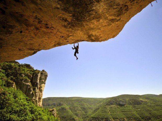
Shirley Peak, Wofford Heights
Shirley Meadows is located in Wofford Heights, on the Greenhorn Mountain, at about 60 mi/96.6 km northeast from Bakersfield, California, USA.
Home > MOUNTAIN SPORTS > Rock Climbing > Mount Baldy, San Bernardino
Mount Baldy is perfect for rock climbing. The summit is the highest point of the San Gabriel Mountains. The climb route is a loop with a variety of terrain and electric biotic zones. It combines the Baldy Bowl Trail (known as Ski Hut Trail) for the ascent and Devils Backbone Trail and Manker Canyon Fire Trail for the descent.
Length of trail is 11 mi/17.7 km. Elevation gain is 3880 ft/1183 m. Skill level is class 2, strenuous. Trailhead elevation is 6246 ft/1904 m and top elevation 10064 ft/3067 m. Local maps, that will be useful are Southern California Atlas and Gazetteer and USGS Mount San Antonio. Local contacts are Sheep Mountain Wilderness. Best season to climb is April through November.

Shirley Meadows is located in Wofford Heights, on the Greenhorn Mountain, at about 60 mi/96.6 km northeast from Bakersfield, California, USA.
The Free State is situated on the flat boundless plains in the heart of South Africa. Known locally as the "breadbasket" of South Africa, it is the agricultural city and most of its land is at 1000 m/3281 ft above sea level. It is the land of rugby, sunny skies and characterized by a continental climate, with warm to hot summers and cool to cold winters.
Amin Brakk is a mountain, situated in the Nangma Valley of Karakoram range in Pakistan. The zone is open and is one of the most suitable areas for one of the most popular mountain sports, rock climbing.
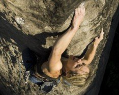
Gauteng is the smallest province in South Africa, yet its economic power house. It is located in the heart of South Africa's Highveld Region and is highly urbanized and densely populated. Gauteng offers to its visitors an option to explore the hustle and bustle of its urban life or the natural attractions outside its main cities, Johannesburg and Pretoria.
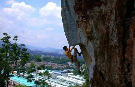
Kuala Lumpur is a huge city with a number of district articles with a lot to offer. Literally meaning "muddy river" in Malay, it is the federal capital and the largest city in Malaysia, covering an area of 243 km²/94 mi². Located in the center of Selangor State, Kuala Lumpur enjoys a tropical rainforest climate which is warm and sunny with abundant rainfall especially between October to March.
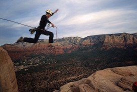
The beautiful city of Sedona straddles the county line between Coconino and Yavapai counties in the northern Verde Valley region in Arizona. Sedona is a place that offers many cultural sites, recreational opportunities, impressive landscapes and that's why it attracts about 4 million visitors every year.
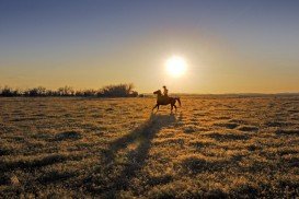
Mammoth Lakes is located near Mammoth Mountain, in California’s eastern Sierra about 100 mi/161 km south of Nevada State Line, 9 mi/14.5 km northwest of Mount Morrison, at an elevation of 7880 ft/2402 m, Mono County, California, USA.

Mammoth Lakes is located near Mammoth Mountain, in California’s eastern Sierra about 100 mi/161 km south of Nevada State Line, 9 mi/14.5 km northwest of Mount Morrison, at an elevation of 7880 ft/2402 m, Mono County, California, USA.

Snow Summit Ski Resort is located on the San Bernardino Mountain, by the Big Bear Lake, California, USA.
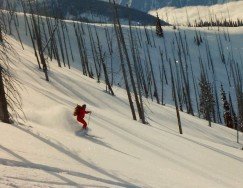
Snow Summit Ski Resort is located on the San Bernardino Mountain, by the Big Bear Lake, California, USA.

Lake Havasu is situated behind Parker Dam on the Colorado River, just on the border that joins California with Arizona. On the eastern shore of the lake lies Lake Havasu City.
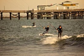
Sunset Beach is located in north Orange County and is undoubtedly one of the most favorable kite-surfing spots in California. The spot offers peaceful and luxurious surroundings all year long, while the better season for going kite-surfing is from April to October.
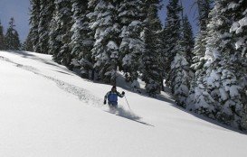
Tamarack Lodge Resort is located in Mammoth Lakes, near Mammoth Mountain, in California’s eastern Sierra about 100 mi/161 km south of Nevada State line Mono County, California, USA.

Mammoth Lakes is located near Mammoth Mountain, in California’s eastern Sierra about 100 mi/161 km south of Nevada State Line, 9 mi/14.5 km northwest of Mount Morrison, at an elevation of 7880 ft/2402 m, Mono County, California, USA.

