Saarbrücken is found near the French border pointing at the heart of a metropolitan area of a great people concentration. Saarbrücken as the capital of the State of Saarland, is a commercial and cultural center.
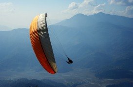
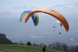
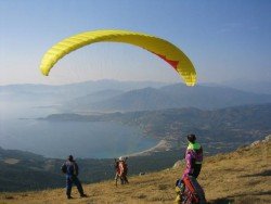
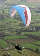
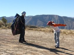
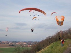
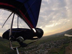
Nonetheless, the area is also known for its airport where air sports are taking over the place. The Saarbrücken airfield lies into the Saarbrücken city. At this airport, the man’s biggest dream of flying comes true with the form of paragliding. Paragliding is a very popular air sport in Germany that attracts many dashing paragliders.
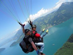
The airport lies at an elevation of 322 m/1058 ft. Most common wind in the area comes from the west with an average speed of 8 knots/9.2 mph. Average air temperature during winter is 5°C/41°F and during summer 20°C/68°F. The GPS coordinates for the airfield are 49°12′52″N 07°06′34″E. You will start your amazing experience by flying at about a height of 762 m/2500 ft.
Then you will soar through the air over breathtaking landscapes, trying to manage the gigantic parachute. Afterwards you will slowly and gently land back at the airport. Don’t miss this incredible opportunity to conquer the sky! Bear in mind that you will have to book a flight. All equipment will be provided.