Strawberry, Sonora
Sonora Pass is located near Pinecrest, Tuolumne County, California, USA. It is off of Highway about 60 mi/96.5 km east of Sonora.
Home  > MOUNTAIN SPORTS  > Extreme Hiking / Hiking  > Observatory Route, Mauna Loa
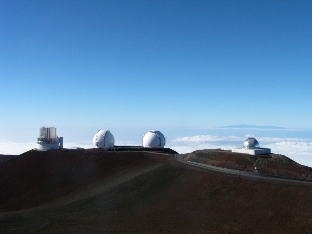
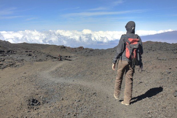
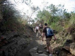
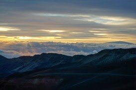
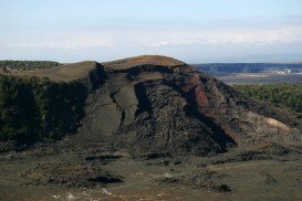
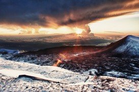
The summit of the mountain lies above the forest line and the terrain consists of mostly lava rocks and shrubs due to its alpine weather conditions. Because of the volcano eruptions, there are lava flows all around the mountain and some of them flow all the way down to the sea. The view from Mauna Loa is breathtaking. You can see right next to it the Mauna Kea volcano and since you are in Hawaii, the nature’s diversities from low ground tropical wet temperatures to mountain high, alpine, dry and cold temperatures.
The trail begins from the Mauna Loa Weather Observatory center at 11000 ft/3352 m and is 26 mi/41 km long as a round trip. It is recommended for hikers to spend a night in their cars near the observatory so as to adjust their body to high altitude, before taking this trail. It is considered to be a difficult trail, rough and remote, recommended for experienced and well equipped hikers.
Hikers should wear light and layered clothes, hiking boots and warm socks and take enough food and water that will last them at least two days. It is possible to hike the observatory trail to the summit and back in one day, but if you can’t make it, you can spend the night at the Mauna Loa Cabin after being registered with the Park’s Service before you leave. The town of Hilo is at 44.6 mi/71 km away. Don’t forget to take sunglasses and sunscreen with you.
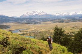
Sonora Pass is located near Pinecrest, Tuolumne County, California, USA. It is off of Highway about 60 mi/96.5 km east of Sonora.
Wenatchee is the largest city of Chelan County, located in North Central Washington and lies on the west side of the Columbia River. The city is also known as the Apple Capital of the world, due to the valley's apple cultivations.
Massif du Sud is a well-known ski mountain spot, at about 90 km/55 mi southeast of Quebec City, Canada. The spot represents part of the same name park, Park du Massif du Sud. It is widely known that if you visit this place, you have the chance to enjoy yourself in all fields.
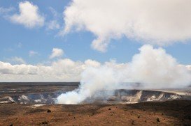
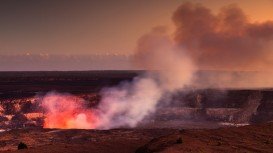
Volcano National park is located at 30 mi/48 km in the southwest of Hilo Town in Hawaii. The park was established in 1916 and is a combination of unique ecosystems and diverse environments that range from the sea to the summit of the world's biggest volcano, Mauna Loa, as well as Kilauea witch is the world's most active volcano.
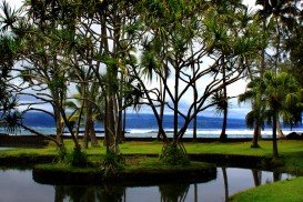
Chocks beach is located in Hilo, in Hawaii, which is the most populated city of the island. Hilo is an old fashioned bay front town, with tropical rain forest climate all year long, and home of the Tsunami Museum, dedicated to the understanding of the 1946 Pacific Tsunami.
Upolu Airport is located in the northern tip of the Island of Hawaii. It is a general aviation airport with a single runway and two aircraft parking areas.
Hillo's Brakewall is located in Hilo, Hawaii, which is the most populated city of the island. Hilo is an old fashioned bay front town, with tropical rain forest climate all year long and home of the Tsunami Museum, dedicated to the understanding of the 1946 Pacific Tsunami.
Volcano National park is located at 30 mi/48 km in the southwest of Hilo Town in Hawaii. The park was established in 1916 and is a combination of unique ecosystems and diverse environments that range from the sea to the summit of the world's biggest volcano, Mauna Loa, as well as Kilauea which is the world's most active volcano.
Richardson's beach is located in Hilo, Hawaii, which is the most populated city of the island. Hilo is an old fashioned bay front town, with tropical rain forest climate all year long and home of the Tsunami Museum, dedicated to the understanding of the 1946 Pacific Tsunami.
Bayfront beach is located in Hilo, Hawaii, which is the most populated city of the island. Hilo is an old fashioned bay front town, with tropical rain forest climate all year long and home of the Tsunami Museum, dedicated to the understanding of the 1946 Pacific Tsunami.
Mauna Kea is one of the five active volcanoes on the island of Hawaii, at 35 mi / 56 km in the west of Hilo Town while its peak is the highest point in the state, standing at 13803 ft / 4207 m above the sea level.
Tombstones beach is located between Paukaa and Wainaku Village Hawaii, at about seven minutes drive from Hilo, which is the most populated city on the island.