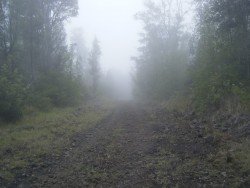
Xirovouni Mountain Trail, Euboea
Euboea is the second largest island in Greece, located on the eastern coast of Central Greece and is worldwide known for the extraordinary natural phenomenon of the tide's changes, taking place on the Euripus strait.
Home > MOUNTAIN SPORTS > Extreme Hiking / Hiking > Pu’u Loa Petroglyphs Trail, Volcano National Park
The park is an international World Heritage site and provides the visitors with several exciting hiking opportunities. Pu’u Loa Petroglyph’s Trail is 2 mi/3.2 km long, easy, around two hours round trip walk and starts at the Puu Loa parking, on Chains of Craters road.
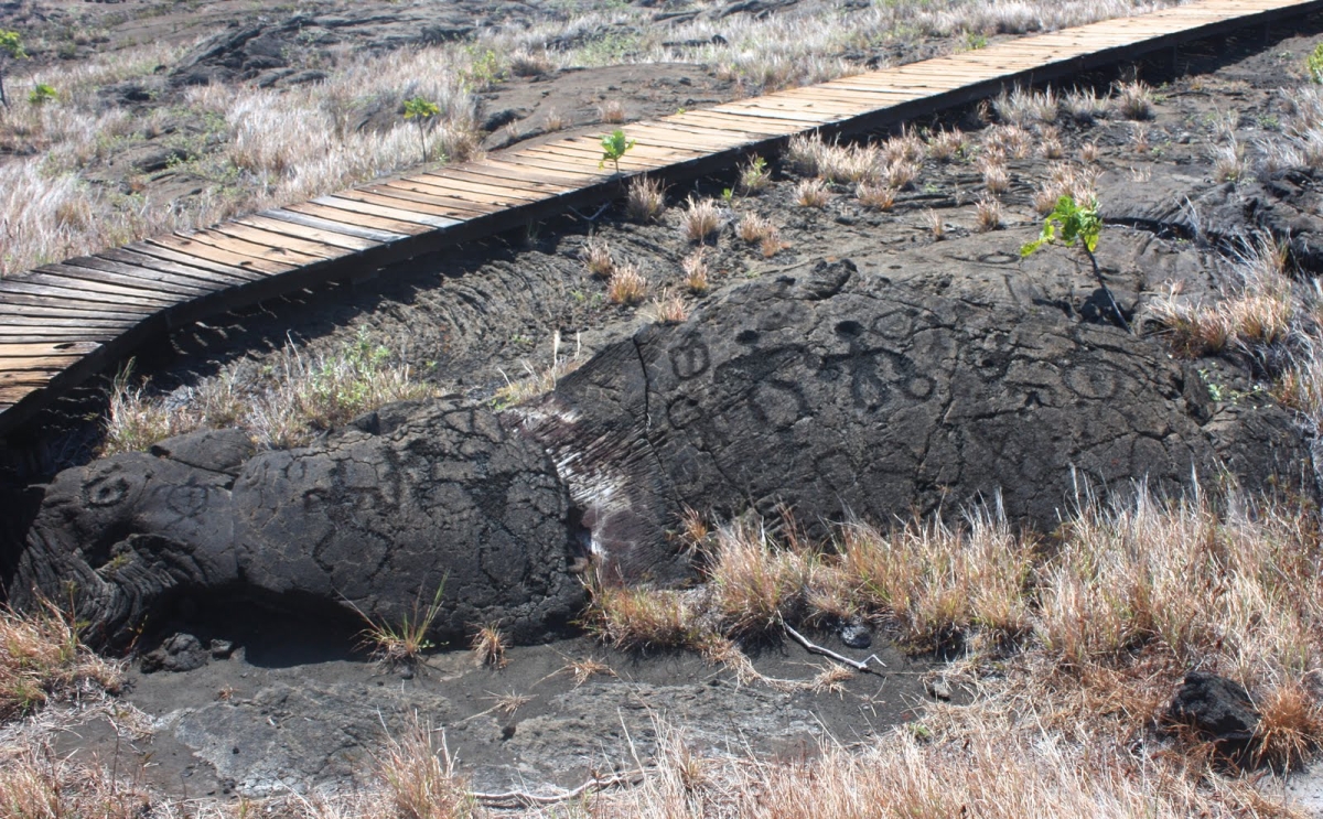
Hiking there is a very interesting experience because you walk through the fascinating ancient history of Hawaii, the Pu’u Loa Petroglyphs. It is a historic site where you can admire the volcanic rock carvings, that represent a variety of ancient ideas, such as canoes, sails, human figures and more. The trail is very well marked but visitors should be careful of the unstable volcanic terrain and not to damage the petroglyph’s since they are very fragile.
Hikers should wear hiking boots, take water and snacks, sunglasses, sunscreen and a hat because the sun can be very intense. Due to the unstable terrain conditions, it is recommended, before choosing Pu’u Loa Petroglyphs Trail, to consult the Volcano National Park website for any park alerts that might prevent you from following this route.

Euboea is the second largest island in Greece, located on the eastern coast of Central Greece and is worldwide known for the extraordinary natural phenomenon of the tide's changes, taking place on the Euripus strait.
What if you want to take a taste of the whole UK during a small journey? Swansea’s tranquil land is suitable for hiking in small-organized groups or with your own company.
Rogue River is situated in southwestern Oregon, near the city of Grants Pass.
Mojacar is a municipality, located in 90 km/56 mi away from the center, in the southwest of Almeria province. This village lies between Carboneras and Garrucha, bordering the Sierra Cabrena mountains and the Mediterranean sea. The village has been inhabited by Phoenicians, Greeks and Romans throughout the ancient times, leaving as a legacy behind their architecture style. The whole village is build on the top of the hill with white traditional buildings surrounded by a big labyrinth of small narrow streets.
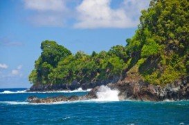
In the North side of Kealakekua Bay, close to HI-11/ Hawaii Belt Rd, lies the monument of British explorer Captain Cook, who was killed in 1779. The road that leads to the monument is accessible by foot only.
Mount Shasta is located in northern California, east of Interstate 5 along SR89, between Mount Shasta city and McCloud city, California, USA.
Mauna Kea is one of the five active volcanoes on the island of Hawaii, at 35 mi/56 km in the West of Hilo Town. Its peak is the highest point in the state, standing at 13803 ft/4207 m above the sea level.
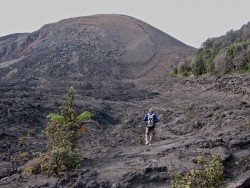
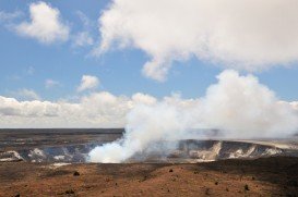
Volcano National park is located at 30 mi/48 km in the southwest of Hilo Town in Hawaii. The park was established in 1916 and is a combination of unique ecosystems and diverse environments that range from the sea to the summit of the world's biggest volcano, Mauna Loa, as well as Kilauea which is the world's most active volcano.
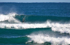
Richardson's beach is located in Hilo, Hawaii, which is the most populated city of the island. Hilo is an old fashioned bay front town, with tropical rain forest climate all year long and home of the Tsunami Museum, dedicated to the understanding of the 1946 Pacific Tsunami.
Mauna Kea is one of the five active volcanoes on the island of Hawaii, at 35 mi / 56 km in the west of Hilo Town while its peak is the highest point in the state, standing at 13803 ft / 4207 m above the sea level.
Volcano National park is located at 30 mi/48 km in the southwest of Hilo Town in Hawaii. The park was established in 1916 and is a combination of unique ecosystems and diverse environments that range from the sea, to the summit of the world's biggest volcano, Mauna Loa, as well as Kilauea witch is the world's most active volcano.
Bayfront beach is located in Hilo, Hawaii, which is the most populated city of the island. Hilo is an old fashioned bay front town, with tropical rain forest climate all year long and home of the Tsunami Museum, dedicated to the understanding of the 1946 Pacific Tsunami.
Chocks beach is located in Hilo, in Hawaii, which is the most populated city of the island. Hilo is an old fashioned bay front town, with tropical rain forest climate all year long, and home of the Tsunami Museum, dedicated to the understanding of the 1946 Pacific Tsunami.
Volcano National park is located at 30 mi/48 km in the southwest of Hilo Town in Hawaii. The park was established in 1916 and is a combination of unique ecosystems and diverse environments that range from the sea to the summit of the world's biggest volcano, Mauna Loa, as well as Kilauea witch is the world's most active volcano.